 | Baja California |
|
|
La Paz |
La Paz |
|
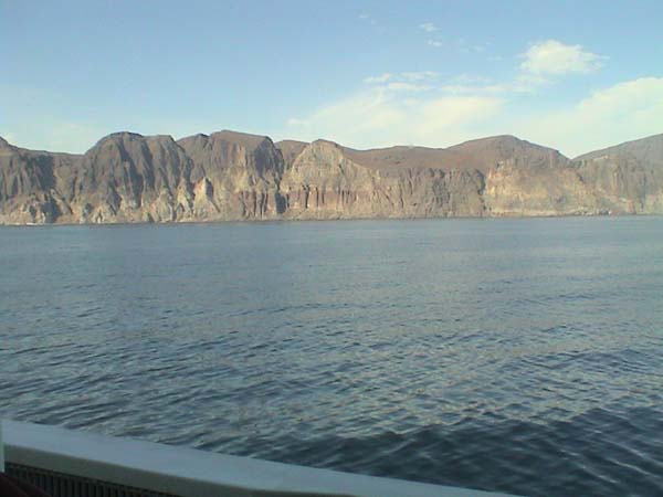
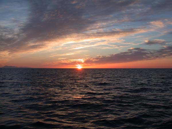
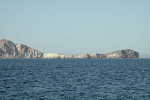
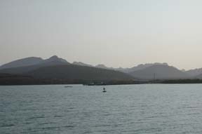
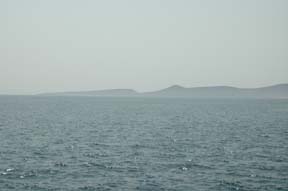
Leg5. The rugged landscape, formed from banded pink and green volcanic tuffs, seen from the ship during the transit north. Volcanic tuffs are formed from the ashes ejected during large, explosive eruptions.Barren terrain of volcanic rocks dissected by dry valleys. Most of these volcanic rocks were formed in the Miocene, more than 6 MA. |
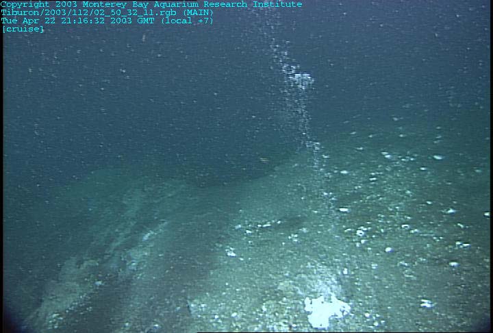
Leg 5 - to study the fluxes of hydrocarbon-rich gases from the ocean floor into the overlaying seawater and atmosphere. There are indications that gases like these have affected Earth''s climate in profound ways in the geologic past, but few studies have been conducted to study the effects of active gas venting in modern times. Hydrocarbon gas plume venting from the seafloor. |
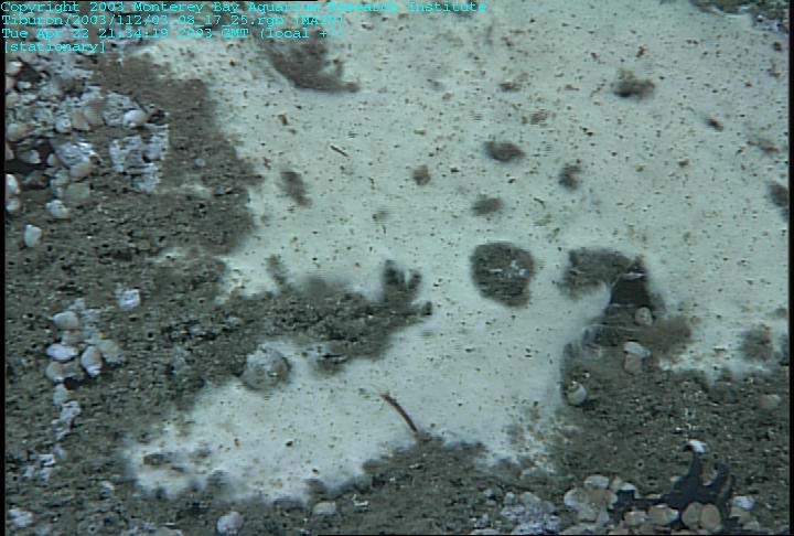
Leg 5. Close-up of a bacterial mat with loads of gastropod snails nearby |
|
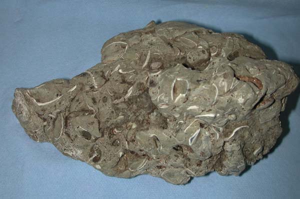
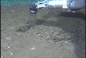
Leg 5. Carbonate rock sample. The shell fragments of seep clams are captured in this solid rock matrix, suggesting that this rock formed in a gas-venting environment. This is a classic example of a methane-derived carbonate cement |
|
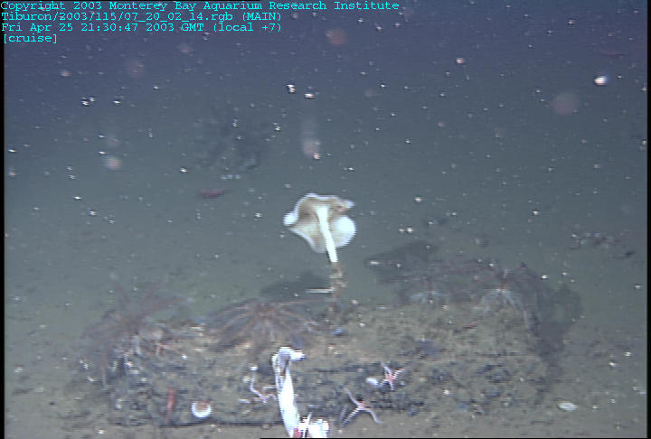
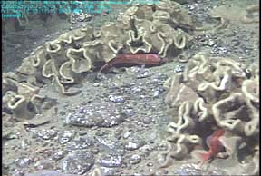
benthic animals were observed in rocky rubble versus the soft mud |
|
the Guaymas Basin, back to the transform fault area |
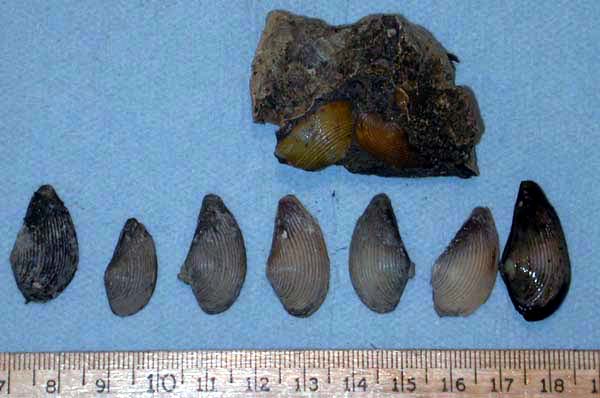
Leg5 -at the gas vent. These small bivalves were collected immediately surrounding the vent. The rock, collected not far away, contains fossils of what appear to be the same species. These samples illustrate the processes going on around the seep and are being interpreted by the science team |
Over the vent. |
|
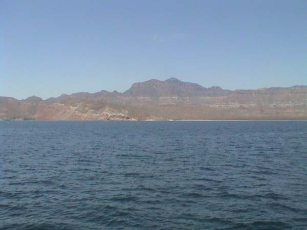
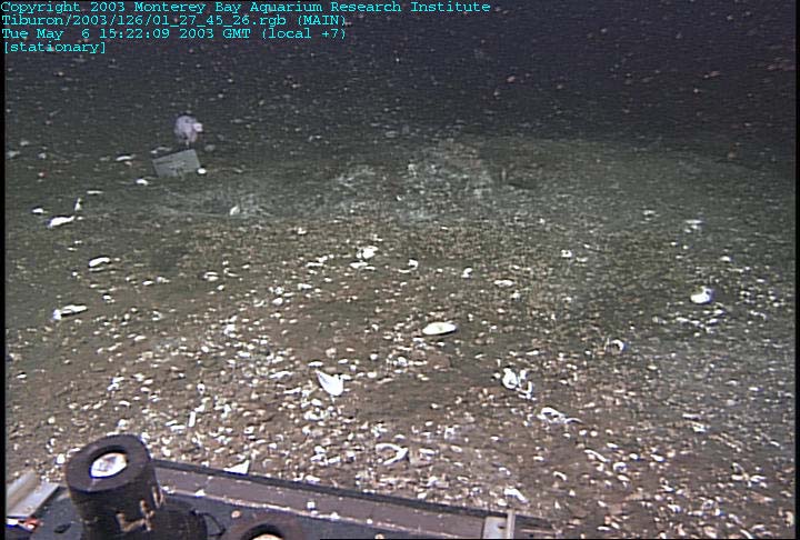
Leg 6. MBARI site located between the peninsula extending north from La Paz and Isla Espiritu Santo. The passage out of Pichilingue is rimmed with rugged volcanic rocks, and in the shadows of the early morning sun, the outline of the craggy ridgeline was sharply defined. On site depth of about 720 meters. A muddy seafloor, slope towards the mouth of the channel between Isla Espiritu Santo and the mainland |
Island Santo, the Gulf of California. Although depths vary around the Gulf, there is an oxygen minimum zone that spans roughly 400 meters to 700 meters water depth. The seawater in this zone has been stripped of its oxygen by vigorous decay of organic material raining down from the photic zone down to the seafloor. Where this oxygen-depleted zone of ocean water impinges on the seafloor, little oxygen is available for organisms that respire. Thus, great expanses of the seafloor within the oxygen minimum zone have reduced numbers of organisms because of the dearth of oxygen |
Corals. four shallow dives in close proximity to the coastline near Isla Coronado. These dives continued our efforts to determine if rhodoliths are transported from the shallow waters where they live to greater depths. TodayĪ»s dive locations were selected because rhodoliths are abundant in the shallow water along this part of the coast. The first dive landed on a muddy seafloor at 894 meters |
|
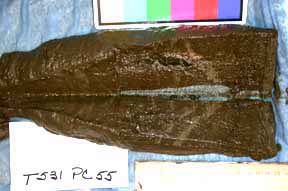
The sediment cores. Nearly all the cores comprised greenish to brown silts and clays, and some cores displayed a thinly laminated structure caused by alternation between the silty material and light-colored, calcareous sand of a biological origin. These layers of sandy biogenic material were derived from calcareous (calcium carbonate-bearing) organisms, such as rhodoliths and molluscs, and are indicative of high-energy storm events. |
A submarine canyon east of Peninsula Concepcion. The first dive was in 1,500 meters of water. Brittle stars littered the seafloor in this section of the canyon.The sediment veneer was thin, exposing scoured surfaces of the rock into which the canyon has been cut. |
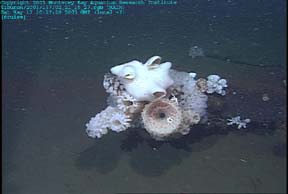
Low outcrops of flat, massive rocks poked up through the sediment. Sponges populated some of these rock surfaces.ecause sponges are filter feeders, they rely on the local hydrodynamics to deliver food to them. Because sediment will clog their feeding apparatus, they grow preferentially on rock surfaces that are above the seafloor and are often situated where currents accelerate around rock outcrops.small patches of Calyptogena clams on the seafloor. These clam patches were located on steep, eroded slopes. However, these clam communities did not appear to be robust, and the availability of hydrogen sulfide that fuels their life is probably diminishing. Life is hard for a chemosynthetic clam when the food runs out. |
|
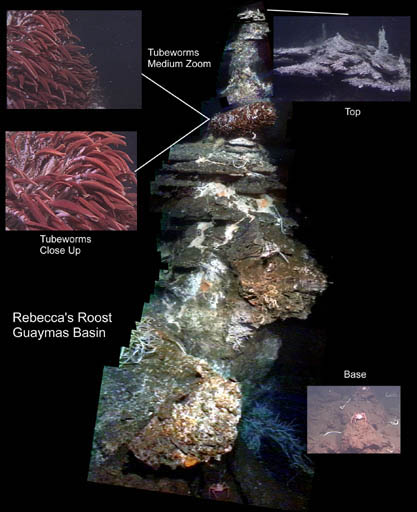
Three high-temperature vent sites will be selected in an area called Ī░RebeccaĪ»s Roost. This is a 53-image color photomosaic of the hydrothermal structure called Rebecca''s Roost in the Southern Trough of the Guaymas Basin. This structure is the primary dive target for Leg 2. Mosaic constructed by images collected in 1998 and compiled by Hanumant Singh, Dana Yoerger of Woods Hole Oceanographic Institution |
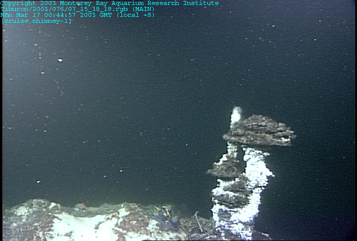
Hydrothermal fluid and chimney samples were collected at Cathedral Hill and at Theme Park. The high temperature probe was used to locate sediments over 60ó¬ C and a Ī░hot push coreĪ▒ was taken from there. A thermocouple array was left at Theme Park. |
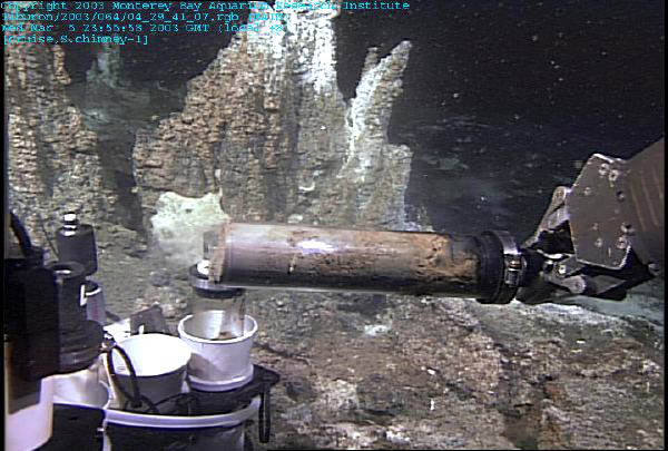
Busted Mushroom, are large, high-temperature structures.mushroom family had indeed grown taller and wider, but our instruments were safely beneath most of the growth. In fact, the narrow trunk made it easy to knock over the entire structure, so all we needed to do was pick up everything and go home. The sample from Busted Mushroom provided us with a complete transect of the chimney wall and had beautiful crystals encrusting the frame |
|
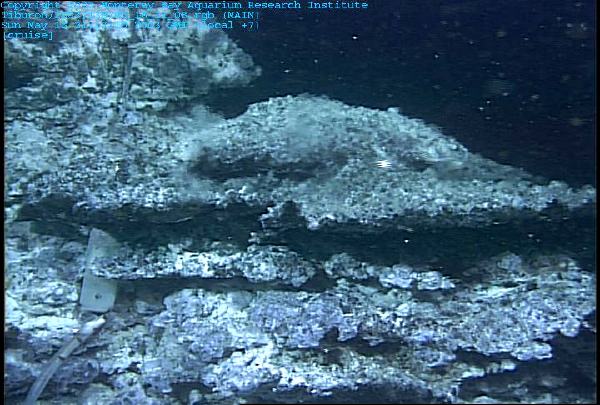
Rebecca Roost - the wall of the chimney |
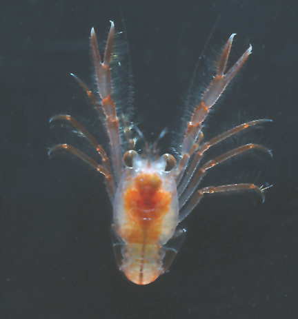
Leg 7. pelagic red crabs were the dominant organism in the surface layer (0¢150 meters). |
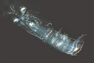
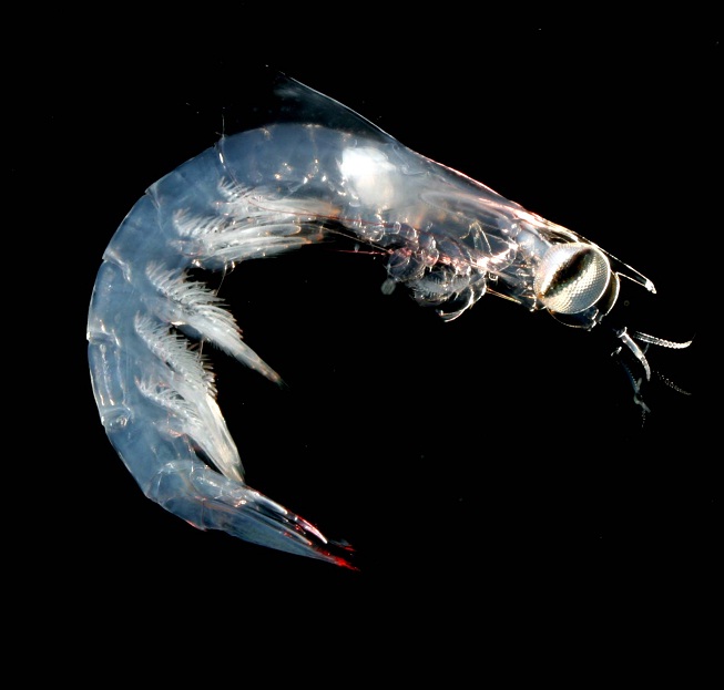
the subsurface layer contained a variety of organisms, including stomatopod larvae and heteropods |
|
stomatopod larva |
