 | Chuckawalla Valley - Palo Verde Valley and Mesa- Chocolate Mountains and Valleys |
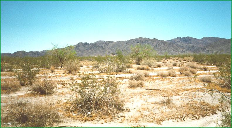
Chuckwalla Valley area with Chuckwalla Mountains (322Be) in background Ś Matthew Miles |
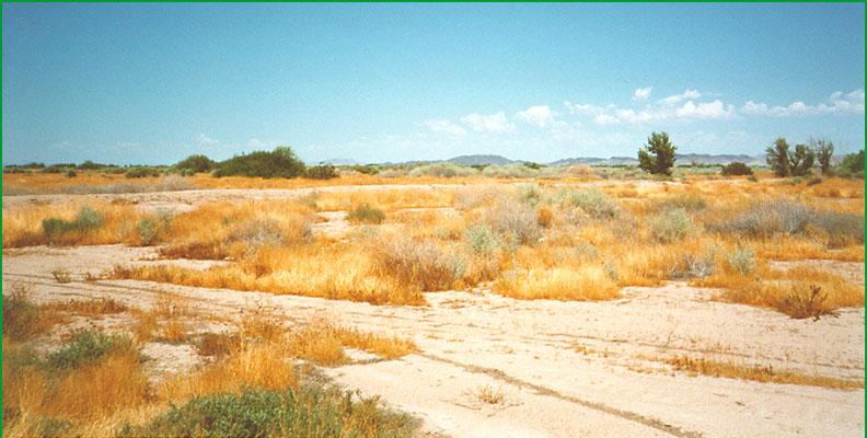
near Colorado River Ś Matthew Miles |
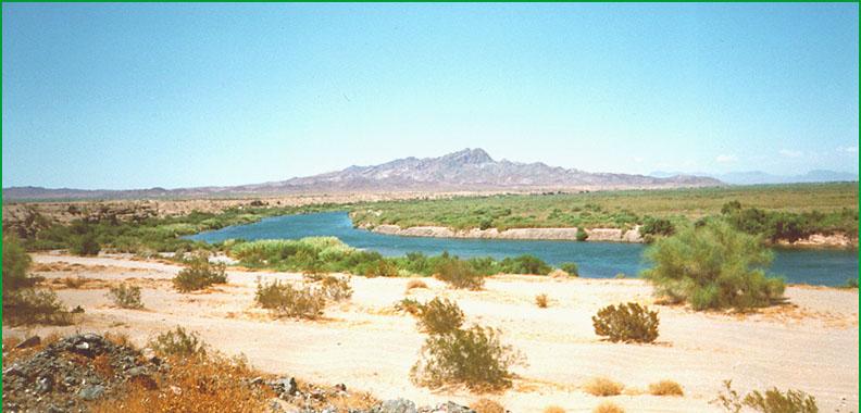
Colorado River area Ś Matthew Miles |
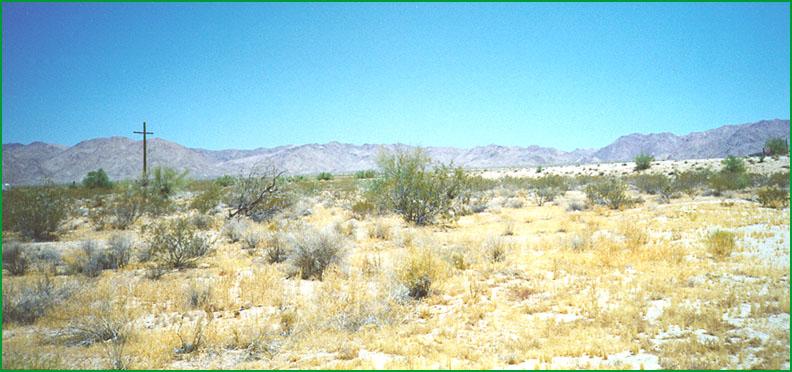
entrance to Joshua Tree National Monument Ś Matthew Miles |
Subsection 322Bc
Chuckawalla Valley
This subsection includes the alluvial fans and basin floor in Chuckawalla Valley, between the Eagle Mountains on the north-northwest end and Palo Verde Valley on the east-southeast end. It has a very hot arid climate. MLRA 30g.
Lithology and Stratigraphy. Quaternary alluvial, lacustrine, and eolian deposits predominate in this subsection.
Geomorphology. This section is on very gently to moderately sloping alluvial fans, nearly level basin floors, and dry lake beds. The elevation ranges about 400 to 1800 feet. Fluvial erosion and deposition and eolian deflation and deposition are the main geomorphic processes.
Soils. The soils are mostly Torrifluvents, Torripsamments, Torriorthents and Haplocambids on younger fans and basin-fill, and mostly Haplocalcids, Petrocalcids, Haplargids, Argidurids, and shallow Haplodurids on older fans. There are Typic Torripsamments in eolian sand. The soils are well drained, except on poorly drained playas. There are Haplogypsids and Haplosalids on poorly drained playas lacking vascular plants. Soil temperature regimes are hyperthermic; and soil moisture regimes are aridic.
Vegetation. The predominant natural plant communities are Creosote bush series and Creosote bush - white bursage series. Mixed saltbush series is common and Mesquite series occurs on basin floors. Blue palo verde - ironwood - smoke tree series occurs in washes and on some sand dunes.
Characteristic series by lifeform include:
Grasslands: Alkali sacaton series, Desert sand - verbena series, Indian ricegrass series, Pickleweed series, Saltgrass series.
Shrublands: Allscale series, Bush seepweed series, Brittlebush series, Brittlebush - white bursage series, Catclaw acacia series, Creosote bush series, Creosote bush - white bursage series, Desert-holly series, Fourwing saltbush series, Iodine bush series, Mixed saltbush series, Ocotillo series, Teddy-bear cholla series, White bursage series.
Forests and woodlands: Blue palo verde - ironwood - smoke tree series, Mesquite series.
Climate. The mean annual precipitation is about 3 to 4 inches; it is all rain. Mean annual temperature is about 65░ to 75░ F. The mean freeze-free period is about 275 to 325 days.
Surface Water. Runoff is rapid from mountains and alluvial fans and slow from basin-fill. The drainage is internal, toward Palen Dry Lake or Ford Dry Lake, but runoff generally sinks below ground before reaching these dry lakes. Streams have no water in some years and are dry most of each year in other years. There is temporary ponding on playas, or dry lake beds, in some years
Subsection 322Bd
Palo Verde Valley and Mesa
This subsection comprises the alluvial plain in McCoy Wash and Palo Verde Valley, which are between the McCoy Mountains, Chuckawalla Valley, Mule Mountains, and Palo Verde Mountains on the west and the Colorado River on the east. It has a very hot arid climate. MLRAs 30g and 31g.
Lithology and Stratigraphy. Quaternary alluvial deposits predominate in this subsection.
Geomorphology. This subsection is on very gently to moderately sloping alluvial fans and nearly level floodplain. The elevation ranges about 250 to 800 feet. Fluvial erosion and deposition and are the main geomorphic processes.
Soils. The soils are mostly Typic Torrifluvents, Typic Torripsamments, and Typic Torriorthents on younger fans and on floodplain of the Colorado River and mostly Typic Calciorthids, Typic Haplargids, and shallow Typic Durorthids on older fans. The soils are well drained. Soil temperature regimes are hyperthermic; and soil moisture regimes are aridic.
Vegetation. The predominant natural plant community on alluvial fans is Creosote bush - white bursage series. Mesquite series occurs in riparian areas along the Colorado River and Tamarisk series has invaded some riparian areas.
Characteristic series by lifeform include:
Grasslands: Big galleta series, Indian ricegrass series.
Shrublands: Allscale series, Bush seepweed series, Brittlebush series, Brittlebush - white bursage series, Catclaw acacia series, Creosote bush series, Creosote bush - white bursage series, Desert-holly series, Fourwing saltbush series, Iodine bush series, Mixed saltbush series, Ocotillo series, Teddy-bear cholla series, White bursage series.
Forests and woodlands: Blue palo verde - ironwood - smoke tree series, Mesquite series.
Climate. The mean annual precipitation is about 3 to 4 inches; it is all rain. Mean annual temperature is about 70░ to 75░ F. The mean freeze-free period is about 300 to 325 days.
Surface Water. Runoff is rapid from alluvial fans and slow from floodplain. Drainage is to the Colorado River. Streams, other than the Colorado River, have no water in some years and are dry most of each year in other years.
Subsection 322Be
Chocolate Mountains and Valleys
This subsection includes the Orocopia and Chocolate Mountains on the southwest and the Chuckawalla, Little Chuckawalla, Palo Verde, and Mule Mountains on the northeast, valleys between these two rows of mountains, hills in these valleys, and Shaver Valley at the northwest end of the subsection. It is about half alluvial plain and pediment and half mountains and hills. It has a very hot arid climate. MLRA 30g.
Lithology and Stratigraphy. The mountains, hills, and pediments are mainly Mesozoic granitic, Tertiary volcanic, Eocene marine sedimentary, Oligocene and Miocene nonmarine sedimentary, Pre-Cretaceous metasedimentary, and Precambrian igneous and metamorphic rocks. There is a small area of Quaternary basalt at the southeast end of the Chocolate Mountains. The remainder of the subsection is mostly alluvium, but includes lacustrine deposits in Hayfield Lake.
Geomorphology. This section is on steep mountains, moderately steep hills, very gently to moderately sloping pediments and alluvial fans, and nearly level basin floors. Most of the mountains and larger valleys between the two rows of mountains are aligned northwest-southeast, but the Little Chuckawalla and Mules Mountains trend toward the northeast. Shaver Valley is aligned east-west. The elevation range is from about 200 to 2500 feet on alluvial plains and up to 3815 feet in the Orocopia Mountains, 3047 feet in the Chocolate Mountains, and 4500 feet in the Chuckawalla Mountains. Mass wasting and fluvial erosion and deposition are the main geomorphic processes.
Soils. The soils are mostly Lithic Torriorthents and Lithic Camborthids on mountains and hills, plus Typic Haplargids on volcanic rocks. They are mostly Typic Torrifluvents, Typic Torripsamments, and Typic Torriorthents on younger fans and basin-fill and mostly Typic Calciorthids, Typic Haplargids, and shallow Typic Durorthids on older fans. The soils are well drained. Soil temperature regimes are mostly thermic in the mountains and hyperthermic on pediments and alluvial plains. Soil moisture regimes are aridic.
Vegetation. The predominant natural plant community is Creosote bush - white bursage series. Blue palo verde - ironwood - smoke tree series occurs in washes. Currently Tamarisk series occurs in riparian areas along the Colorado River.
Characteristic series by lifeform include:
Grasslands: Big galleta series, Indian ricegrass series.
Shrublands: Allscale series, All-thorn stands, Bush seepweed series, Brittlebush series, Brittlebush - white bursage series, Catclaw acacia series, Creosote bush series, Creosote bush - white bursage series, Desert-holly series, Fourwing saltbush series, Iodine bush series, Mixed saltbush series, Ocotillo series, Teddy-bear cholla series, White bursage series.
Forests and woodlands: Blue palo verde - ironwood - smoke tree series, Mesquite series.
Climate. The mean annual precipitation is about 4 to 6 inches. It is practically all rain. Mean annual temperature is about 60░ to 75░ F. The mean freeze-free period is about 250 to 325 days.
Surface Water. Runoff is rapid from mountains and alluvial fans and slow from basin-fill. Drainage from the southeast end of the subsection is through Milpitas Wash to the Colorado River, and drainage from the northwest end is through Salton Creek or Box Canyon Wash toward the Salton Sea, or to Hayfield Lake. Streams have no water in some years and are dry most of each year in other years.