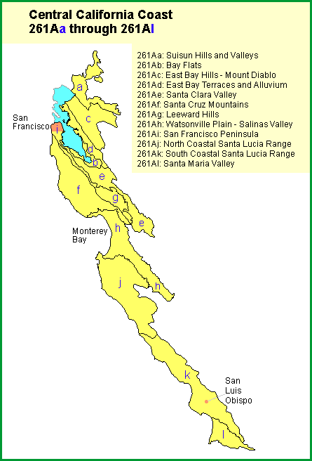
 | Bay Flats |
|
http://www.fs.fed.us/r5/projects/ecoregions/261ab.htm
Bay Flats
This subsection is on parts of the plain at the south end of San Francisco Bay that are less than 10 feet above mean tide level. It is hot and subhumid. MLRA 14d.
Lithology and Stratigraphy. This subsection is on Quaternary bay-fill, mostly silt and clay.
Geomorphology. This is a nearly level delta and estuarine area that is mostly flooded by high tides, or was before artificial barriers were built. The entire subsection is less than about 10 feet above mean sea-level. The main geomorphic processes are coastal marine, and, on the inner edges of the subsection, fluvial.
Soils. The soils are mostly Sulfic Fluvaquents and Endoaquepts, Typic Hydraquents, and Haplaquepts. Soil temperature regimes are isomesic. Soil moisture regimes are aquic.
Vegetation. The predominant natural plant community of the intertidal zone is the Pickleweed series. Saltgrass series is prevalent around the inland margin of the tidal saltmarsh. Sedge meadow communities and Emergent aquatic communities are common on the inner edges of the subsection, away from the bay, or where flooding and drainage patterns have been altered artificially.
Characteristic series by lifeform include:
Saltmarsh vegetation: Cordgrass series, Ditchgrass series, Pickleweed series, Saltgrass series, Sedge series.
Climate. The mean annual precipitation is about 12 to 15 inches. It is all rain. Mean annual temperature is about 58░ to 60░ F. The mean freeze-free period is about 250 to 275 days.
Surface Water. High tides inundate most of the area. The deltas of Coyote Creek, which drains the Santa Clara Valley, and Alameda Creek, which drains the Livermore - San Ramon Valley, are in this subsection.