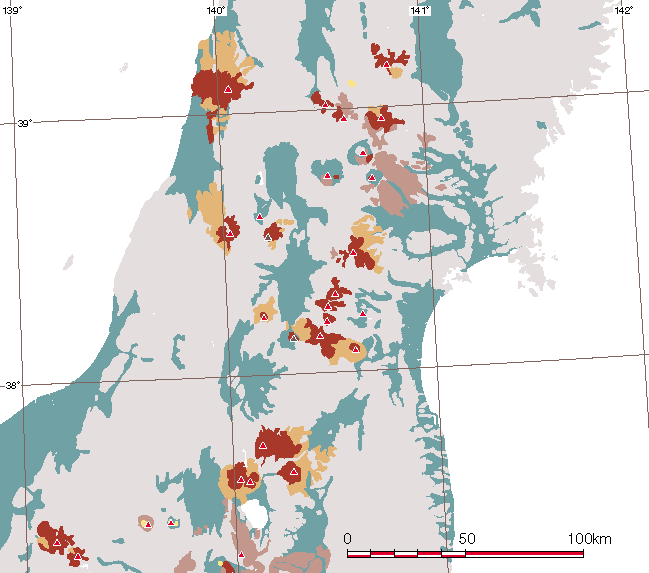
 | Honshu |
|
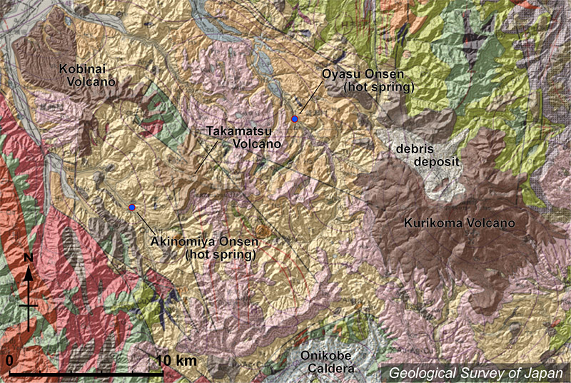
Topographic relief around Kurikoma Volcano combined with geological map. Debris deposits are distributed from the summit area to the north |
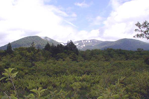
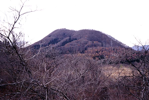
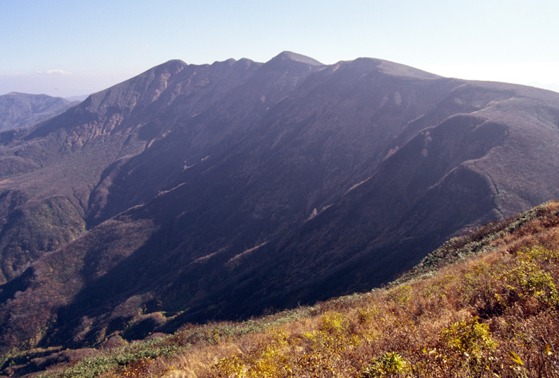
Kurikoma Volcano as viewed from the SSE, Sekaiyachi. Higashi Kurikomayama, Kurikomayama (summit) and Daichimori from right to left |
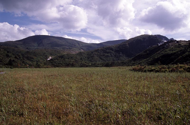
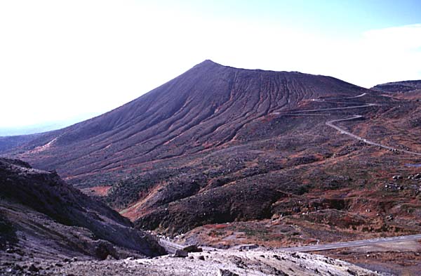
Summit of Kurikomayama viewed from the NNW, Nagorigahara. Tsurugidake with fumarolic gas in the right |
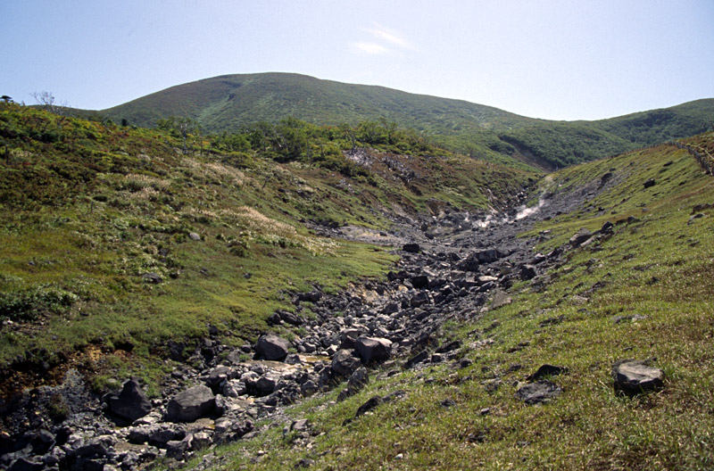
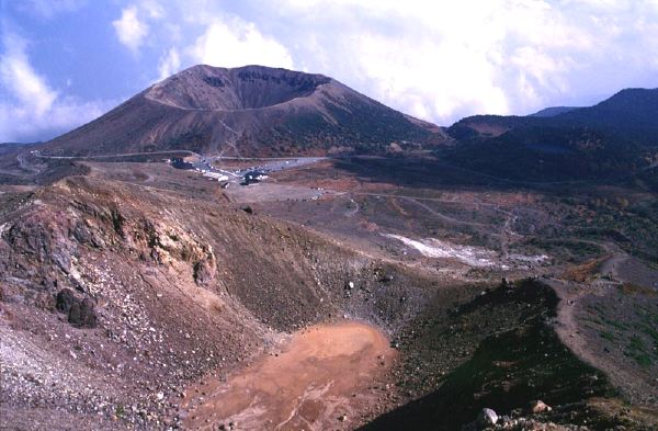
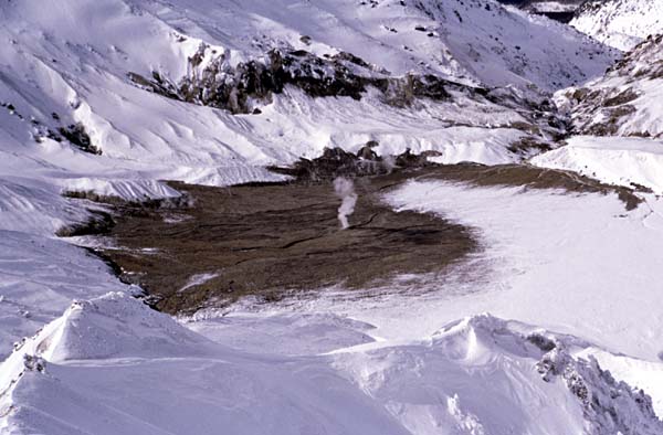
Fumarolic activity at Jigokudani Valley viewed from the N. The summit of Kurikomayama in the background |
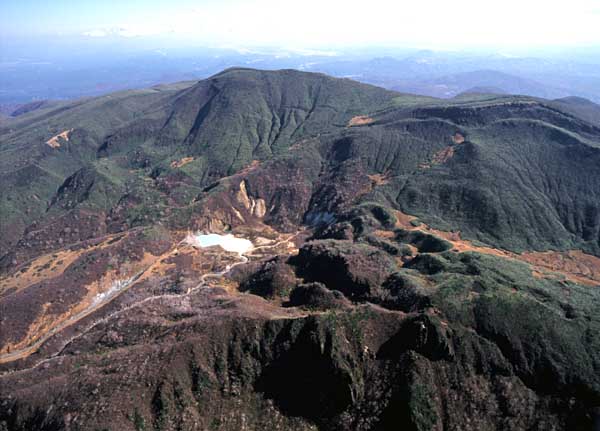
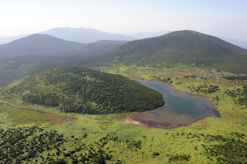
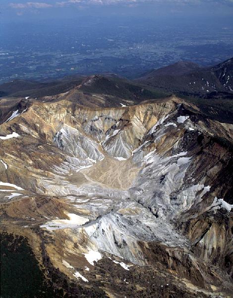
Aerial view of the summit of Mt. Kurikomayama (in the background) as seen from the NW. Showako Lake and Tsurugidake in the foreground |
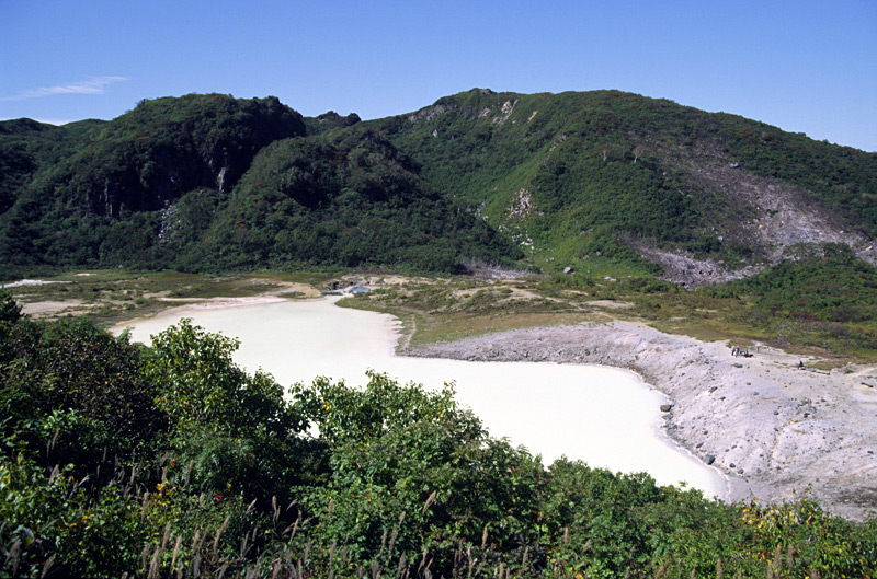
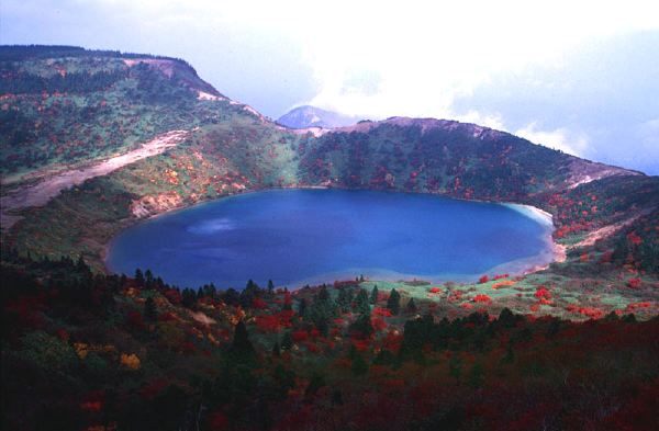
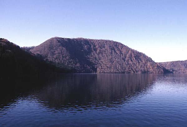
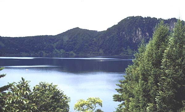
Showako Crater and Turugidake Lava Dome from the SE |
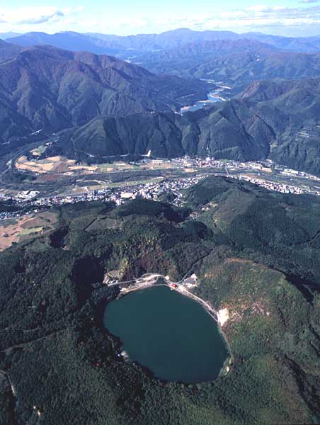
Aerial view of Katanuma Crater and Kurumigatake (right) as viewed from the SSE. Onikobe Caldera in the background. |
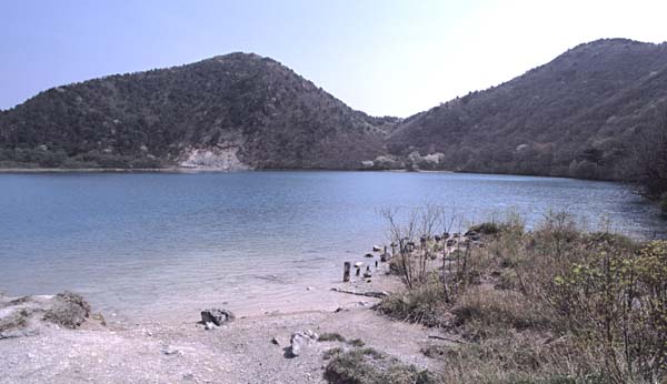
Kurumigatake (lava dome) and Katanuma (lake) viewed from the SW |
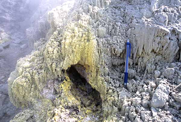
A fumarole in the northeastern side of Katanuma |
View of Kankaneno Crater (center) from the N |
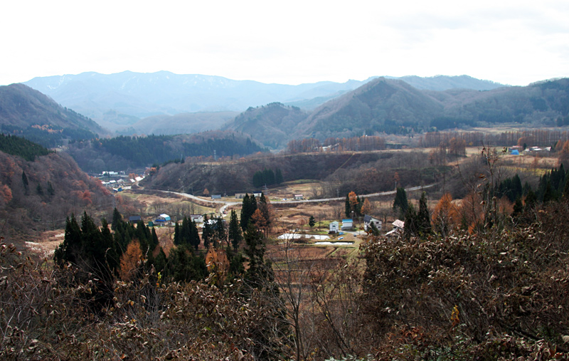
View of Hijiori Caldera from the NE |
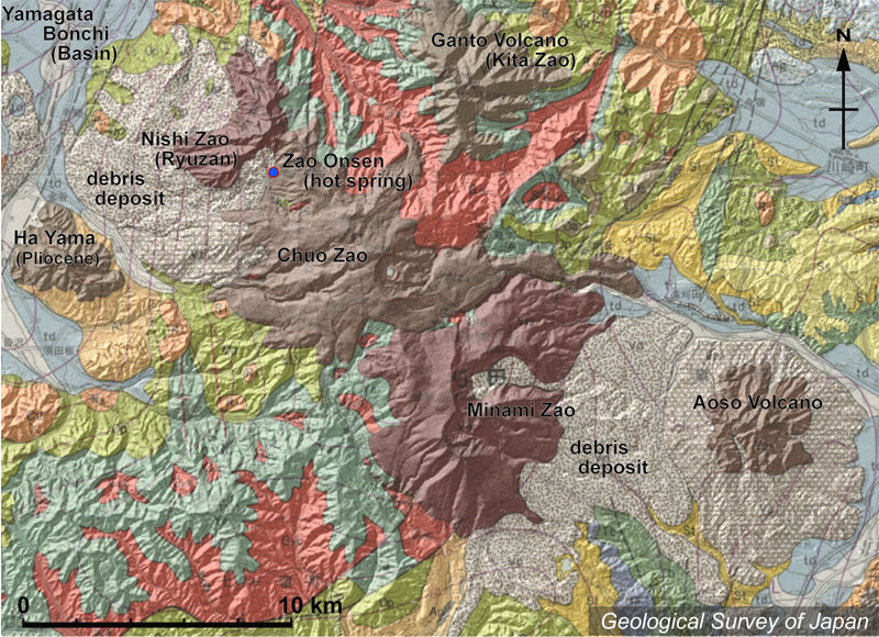
Topographic relief around Zao Volcanoes combined with geological map. Zao Volcanoes are sometimes divided into Minami (=south) Zao, Chuo (=center) Zao, Nishi (=west) Zao and Kita (=north) Zao. |
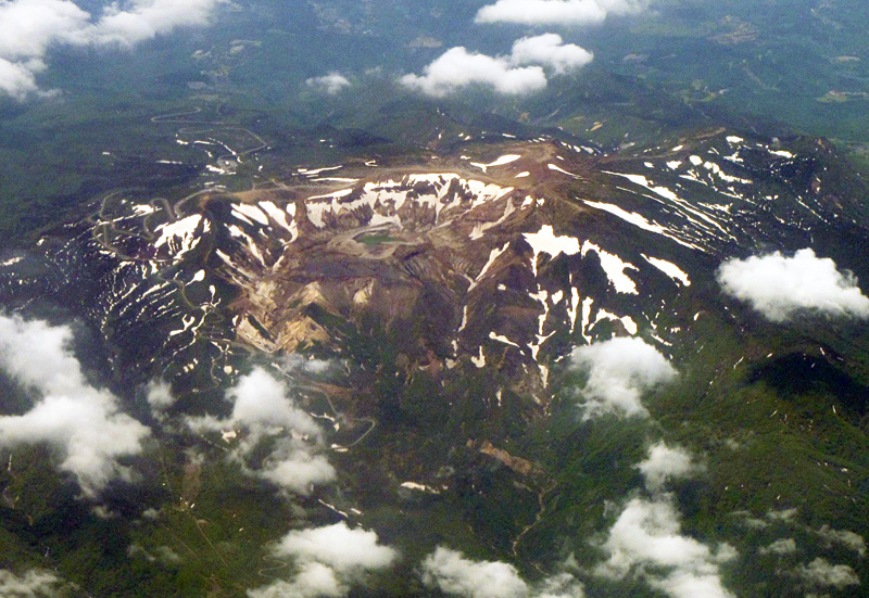
Aerial view of Chuo-Zao Volcano as seen from the E. Goshikidake Pyroclastic Cone and Okama Crater within the collapsed scarp |
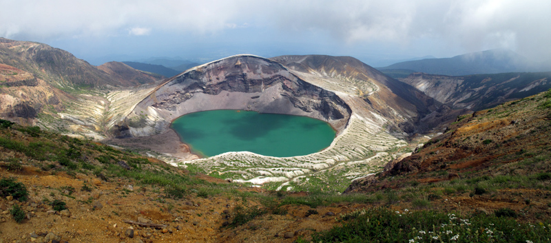
Goshikidake Pyroclastic Cone and Okama Crater viewed from the W |
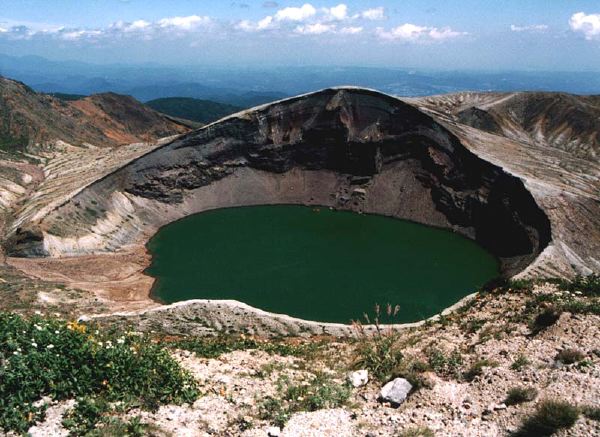
Okama Crater viewed from the W, Umanose Ridge |
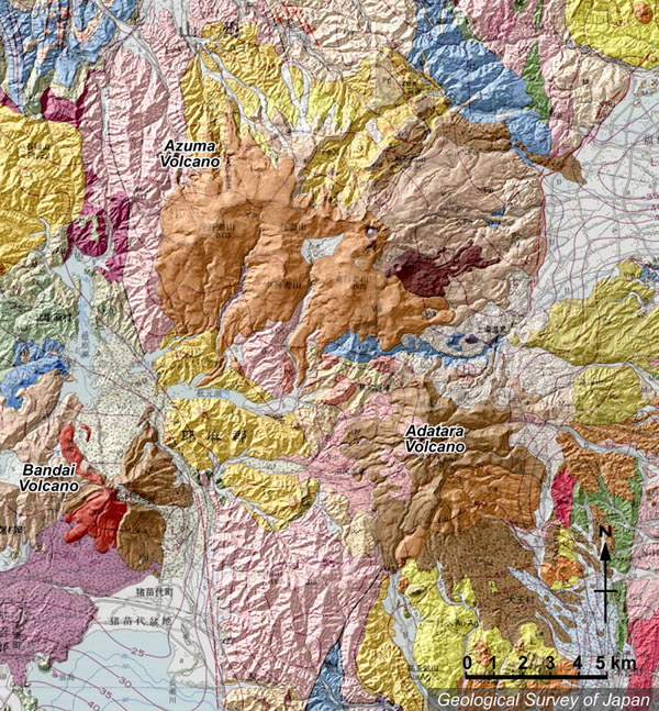
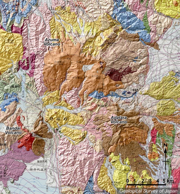
Topographic relief around Azuma Volcano combined with geological map. Bandai Volcano and Adatara Volcano are to the south |
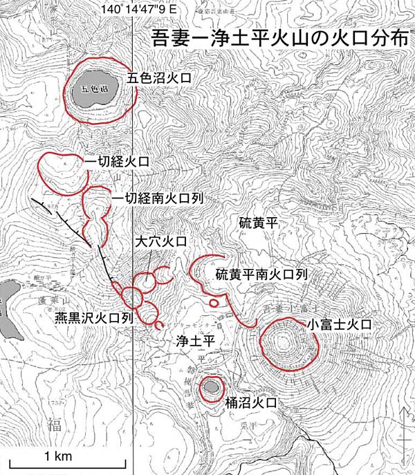
Distribution map of Holocene craters at younger Azuma Volcano |
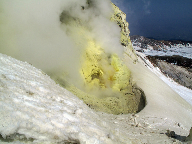
Fumaroles from Oana Crater, viewed from the E |
Fumarolic activity at the western wall of Oana Crater |
Autumn view of Goshikinuma Crater from the S. |
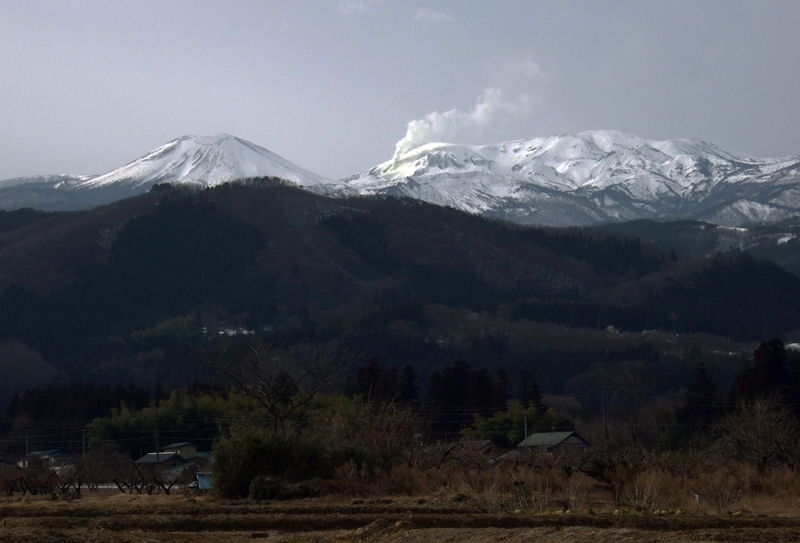
View of Azuma Kofuji Pyroclastic Cone from the N |
Aerial view of Horaisan and Kamanuma Pond as seen from the N. Higashi-azumayama (right) and Takayama (left) in the background. Adatarayama in a distance |
Azuma Kofuji Pyroclastic Cone viewed from the W. A depression in the foreground is a part of Tsubakurosawa Craters |
Topographic relief around Adatara Volcano combined with geological map. Bandai Volcano in the lower left, and E-W trending Azuma Volcano in the upper side. |
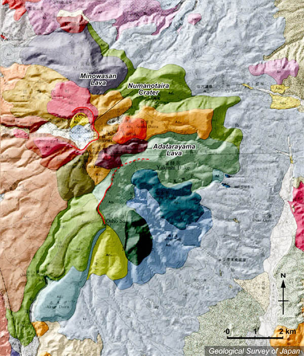
Topographic relief of Adatara Volcano combined with geological map. Numanotaira Crater open (to the west is) is near the summit. The highest point of Adatara Volcano is Minowayama |
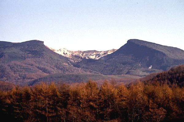
Numanotaira Crater viewed from the W |
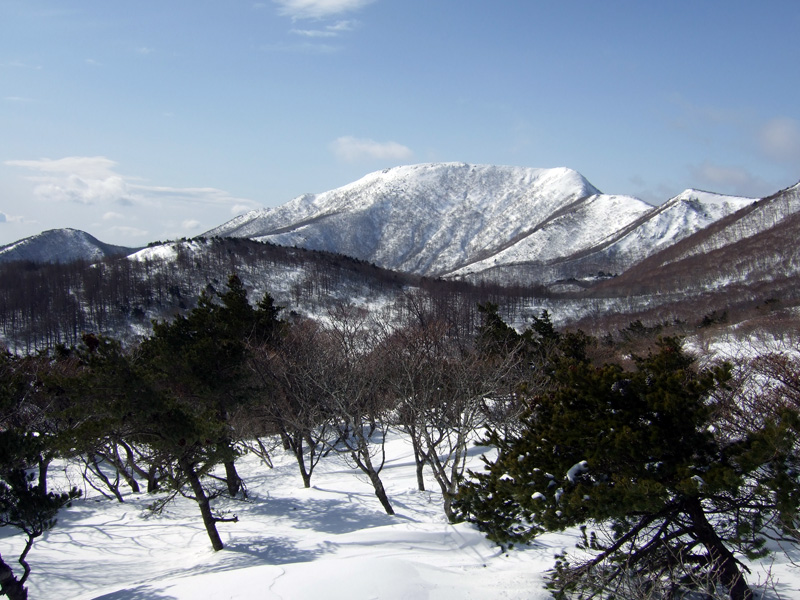
Osho-san viewed from the NE |
Numanotaira Crater viewed from the E. |
Aerial view of Numanotaira Crater as seen from the W |
|
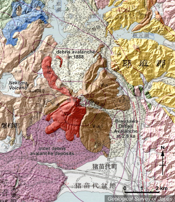
Topographic relief around Bandai Volcano combined with geological map. Note several debris avalanche deposits around the volcano |
Aerial view of Bandaisan (front) and Nekomagatake (back) as seen from the E. |
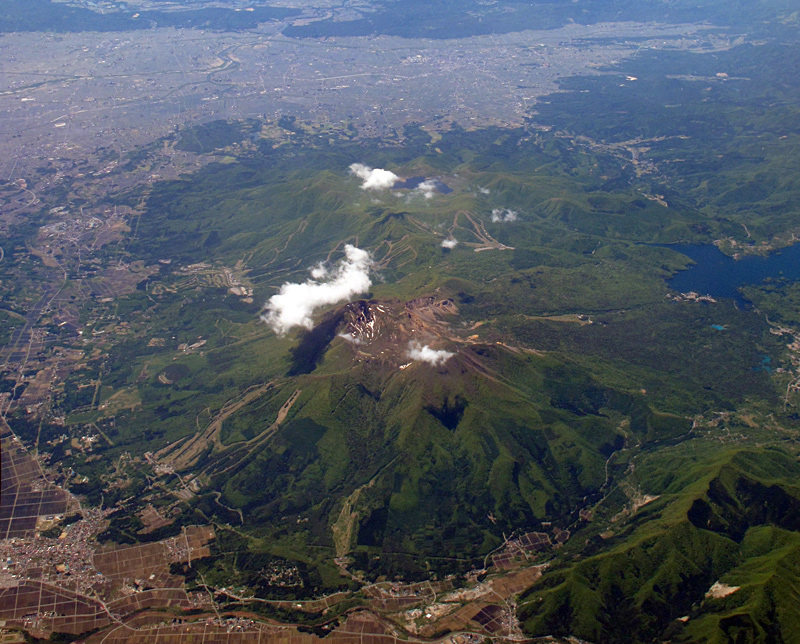
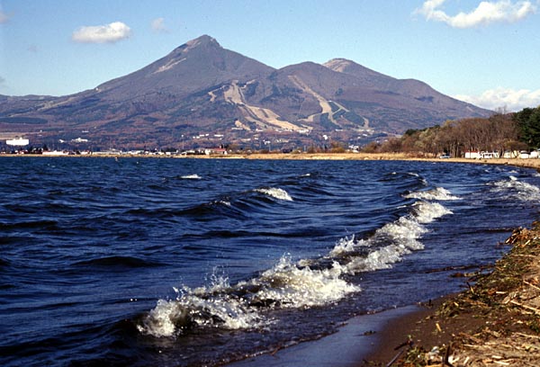
Bandaisan viewed from the SSE. Inawashiroko Lake in the foreground |
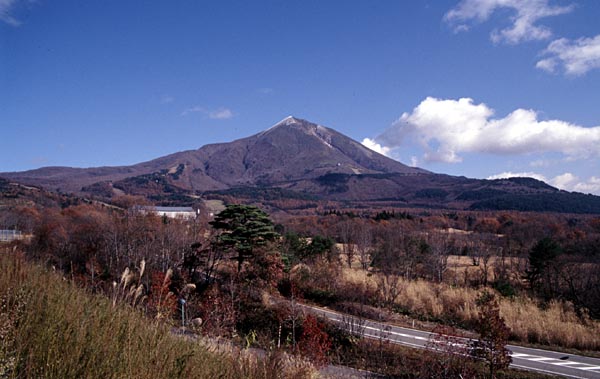
Bandaisan viewed from the WSW |
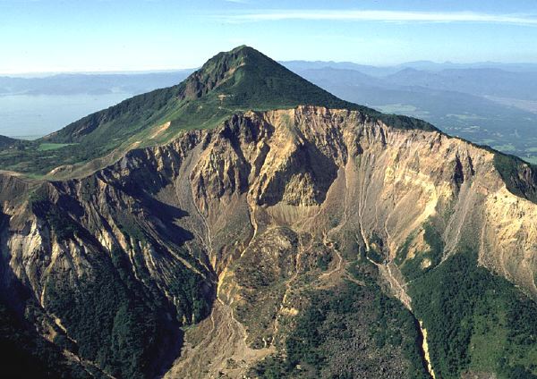
Aerial view of explosion caldera formed in 1888 as seen from the N. |
Aerial view of Bandai Volcano (in the foreground) and Nekoma Volcano (center) as seen from the E. Aizu Basin in the far background |
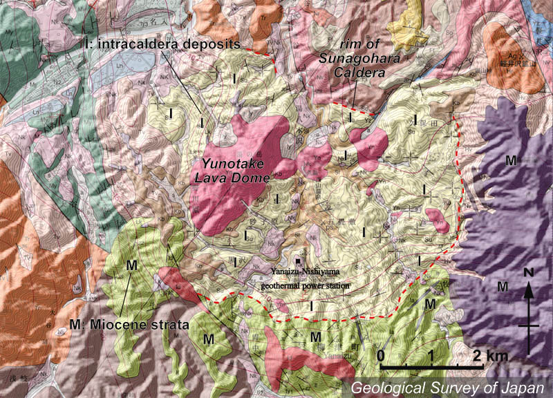
Topographic relief around Sunagohara Caldera combined with geological map. Intracaldera deposits (I) and several lava domes are shown. Yanaizu-Nishiyama Geothermal Power Station is located inside the caldera. Miocene strata (M) are distributed on the eastern and southern side of the caldera |
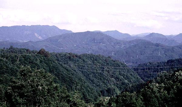
Yunotake Lava Dome (center) viewed from the NW. Caldera rim in the background |
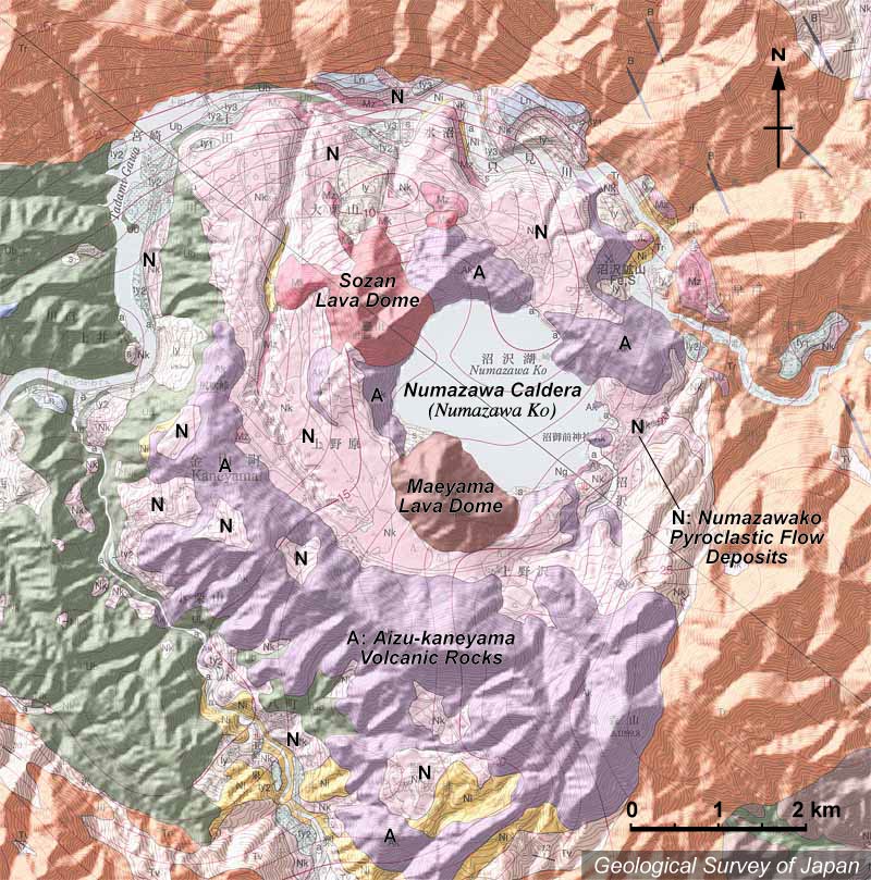
Topographic relief around Numazawa Volcano combined with geological map. Numazawako Caldera (3,400 yBP) was formed inside the Pliocene Kamiigusa Caldera. Two lava domes, Maeyama and Sozan (=Soyama), were formed along the caldera rim. Pyroclastic flow deposits (ca. 3400 yBP) related to caldera formation are extending around the lake |
View of Maeyama Lava Dome from the SE |
Maeyama Lava Dome viewed from the E |
Numazawako Caldera viewed from the E. The peak seen right is Soyama Lava Dome (40,000 years old) |
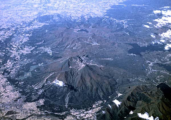
Sumondake viewed from the SW, Suhara Ski Area. |
Erosion caldera viewed from the W, Odake. The peak of Sumondake is at the center |
Oodake, hakamadake (top of Sumondake) and Fujihirayama, from left to right viewed from the WSW |
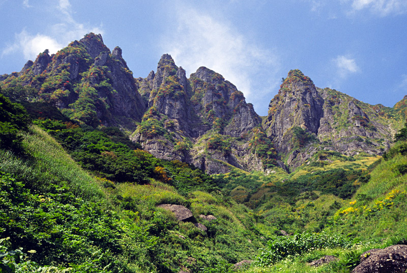
Eastern cliff of Onigatsura-yama looked up from the E (upper stream of Tadamisawa). |
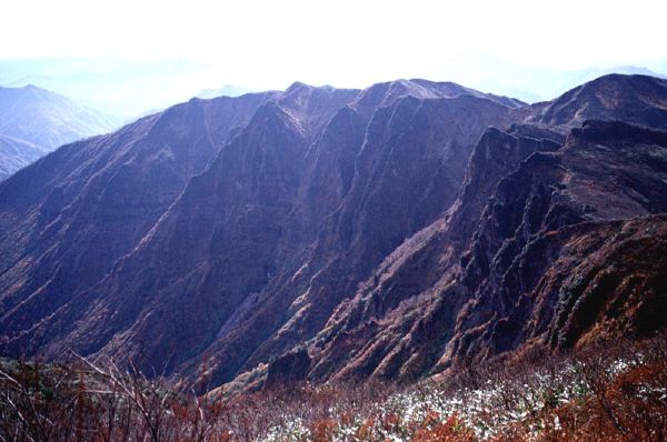
The eastern wall of Onigatsurayama viewed from the NE, Asakusadake |
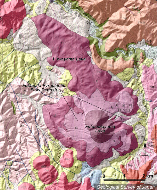
Topographic relief of Futamata-yama Volcano combined with geological map. Iwayama Lava Flow (pinkish purple) with clear lava morphology extending to the NNW in the Tonohetsuri Caldera. Futamata-yama Lava Dome and pyroclastic flow deposits overlain by Iwayama Lava Flow. |
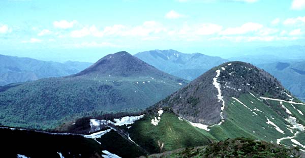
Futamata-yama Volcano (middle) viewed from the S (Ooshiromori-yama), consists of flat lava flow at the base and lava dome in the upper part. Koshiromori-yama on the right consists of post-caldera lava flows of Tonohetsuri Caldera. |
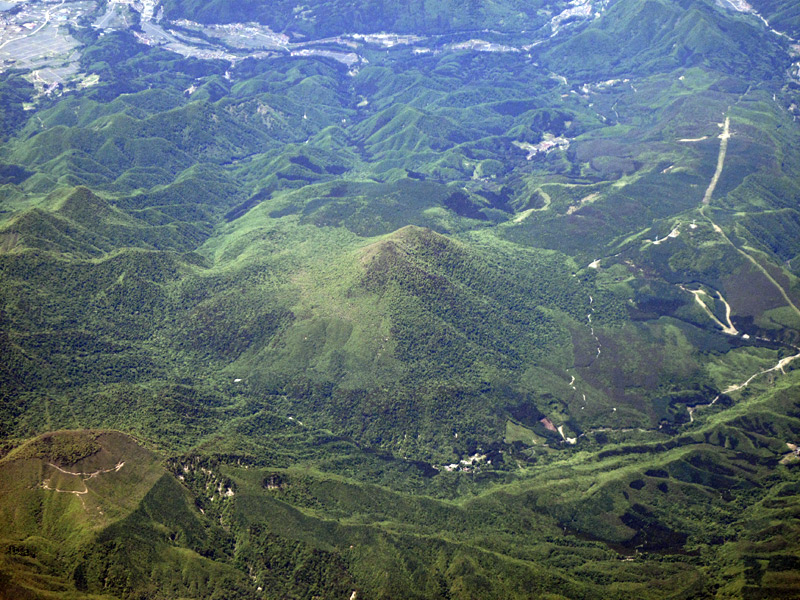
Aerial view of Futamatayama as seen from the ESE |
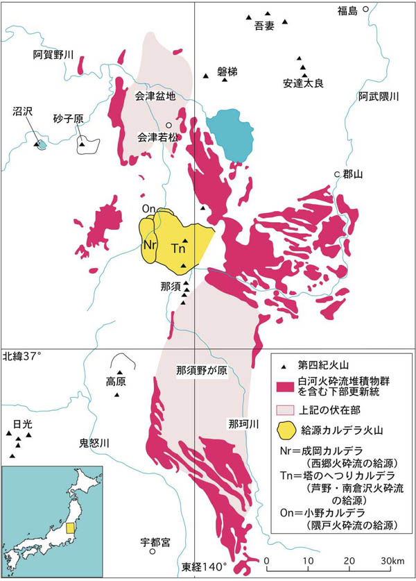
Distribution of Shirakawa Pyroclastic Flow Formations and source calderas |
Resurgent dome (middle) of Tonohetsuri Caldera viewed from the S. Narioka Caldera in the foreground |
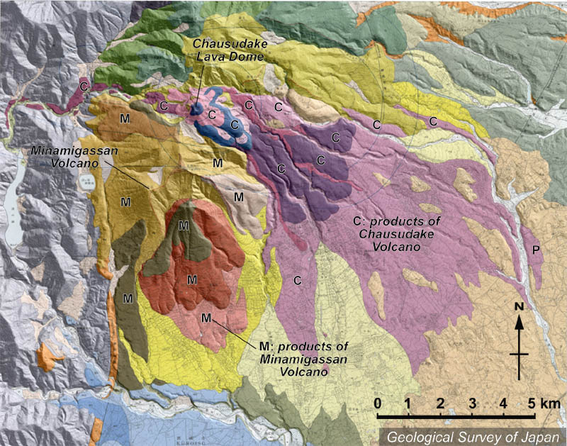
Topographic relief of Nasu Volcano Group combined with geological map. Chausu-dake pyroclastic deposits extending from the west and southeast side of the volcano. Pyroclastic deposits from Minamigassan distributed in the south of the volcano |
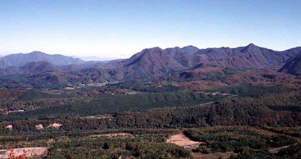
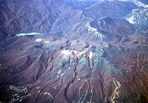
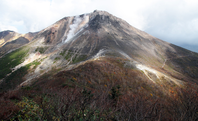
Oblique aerial view of Nasu Volcano Group as seen from the E. Chausu-dake Lava Dome in the center |
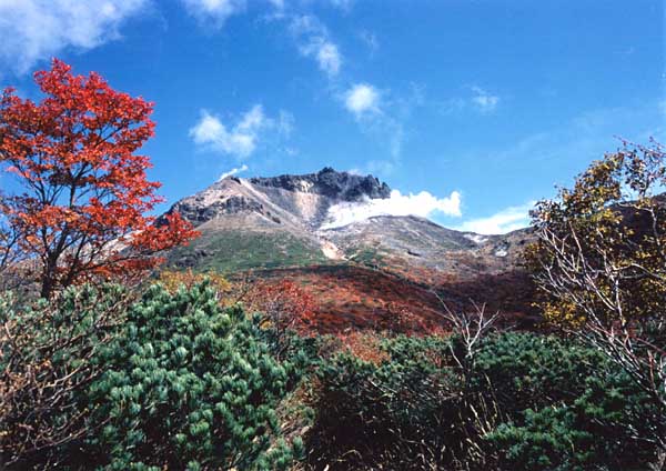
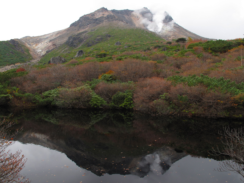
Steaming Chausu-dake Lava Dome viewed from the W |
View of Chausu-dake Lava Dome from the SW |
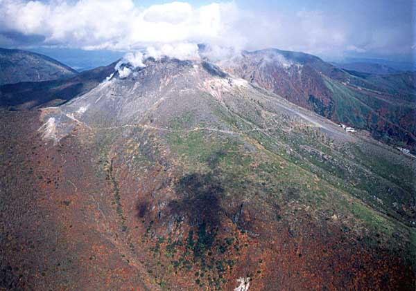
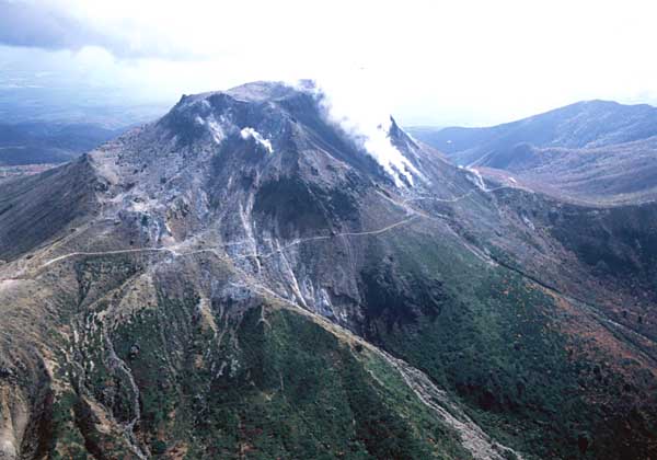
Oblique aerial view of Chausu-dake Lava Dome as seen from the S. Ropeway station on the slope (right). |
View of Chausu-dake Lava Dome from the W |
Oblique aerial view of Chausu-dake Lava Dome as seen from the NW. |
KURIKOMA-YAMA, высота 1627 м (Sukawa-dake), 38 ° 57'' 29" N 140 ° 47'' 31" E, стратовулкан, лавовый купол, андезит, дацит, моложе 0.8 Ма. Извержения:
Недавняя магматическая вулканическая деятельность произошла в основном несколько десятков тысяч лет назад. В начале 18-го столетия (1716-1736): Вулканическая деятельность?
3 февраля 1744: Вулканическая деятельность.
20 ноября 1944: Незначительное phreatic извержение: сформирован новый кратер (озеро Showa).
NARUKO, высота 461 м (Kurumi-ga-take) и 470 м (O-ga-take), 38 ° 44'' 33" N (O-ga-take) 140 ° 44'' 16" E, пирокластическая кальдера плато потока, лавовый купол, дацит, моложе 70 Ka. Май 837: Phreatic извержение?
HIJIORI, высота 517 м, 38 ° 36'' 21" N 140 ° 10'' 42" E, пирокластическое кальдерой плато потока, лавовый купол, дацит, примерно 12 Ka (Miyagi, 2004). Кальдера Hijiori - 2 км в диаметре. Кальдера Hijiori считается действующим вулканом на основании "нового определения действующего вулкана" от января 2003.
ZAO-ZAN, высота 1841 м (Kumano-dake), 38 ° 08'' 26" N 140 ° 26'' 36" E, стратовулкан, пирокластический конус, андезит. Группа вулканов Сhuo-Zao (включает Kumano-dake и Goshiki-dake): моложе 0.3 Ма. Группа вулкана Minami-Zao (включает Byoubu-dake и Fubo-San): примерно 0.35-0.25 Ма. Группа вулкана Nishi-Zao (Ryuzan): примерно 1 Ma.
Извержения 1.5 Ka:
Vulcanian извержение: осадки из пепла.
844: Вулканическая деятельность.
29 ноября 1230: Вулканическая деятельность.
Середина 14-го столетия: облако из пепла.
1620: Вулканическая деятельность?
15 мая 1623-15 ноября 1624: Вулканическая деятельность: осадки из пепла.
1630: Вулканическая деятельность.
1641: Вулканическая деятельность.
1668-1670: Вулканическая деятельность: осадки из пепла.
29 мая 1694: Вулканическая деятельность.
Сентябрь-декабрь 1794: Вулканическая деятельность: осадки из пепла. Новый кратер сформировался.
24 марта 1796: Вулканическая деятельность.
1804: Вулканическая деятельность.
12 июля 1806: Вулканическая деятельность.
С июня до 29 декабря 1809: Вулканическая деятельность.
Январь, Май 1821: Вулканическая деятельность.
1830: Вулканическая деятельность.
22 ноября 1831: Вулканическая деятельность.
1833: Вулканическая деятельность: осадки из пепла.
21 октября 1867: Вулканическая деятельность?: Lahar.
Август, сентябрь 1873: Незначительная вулканическая деятельность.
Март-июль 1894: Вулканическая деятельность.
Февраль, март, август, сентябрь 1895: Вулканическая деятельность: осадки из пепла. Lahar.
Март, сентябрь 1896, январь и 28 марта 1897: облако из пепла.
14 февраля 1940: Незначительная вулканическая деятельность.
Цепочка вулканов Nishi-Zao (Ryuzan), Chuo-Zao, Minami-Zao имеет СЗ-ЮВ простирание. " Группа Вулканов Zao" включает группы вулканов Chuo-Zao, Minami-Zao, Nishi-Zao и Kita-Zao (Ganto-yama и Kamuro-dake).
AZUMA-YAMA, высота 2035 м (Nishi-azuma-yama), 37 ° 44'' 07" N 140 ° 08'' 39" E, стратовулкан, лавовый потоки маленький щитовой вулкан, пирокластический конус, андезит, базальт, дацит, моложе 1.5 Ма. Самый молодой вулкан Azuma-Jododaira моложе 10 Ka. Извержения:
Около 2-го столетия: Phreatic извержение.
Около 7-го столетия: Phreatic извержение.
1331: Phreatic извержения и Vulcanian извержения (кратер Oana и расположенные в одном направлении кратеры Iwodaira-minami).
1711: Phreatic извержения (кратер Oana).
19 мая 1893: Phreatic извержение (кратеры Tsubakurosawa): осадки из пепла.
4 - 8 июня 1893: Phreatic извержения: осадки из пепла. Пропали 2 геолога Геологической службы Японии.
8 июля 1893: Незначительное phreatic извержение: осадки из пепла.
9, 10 ноября 1893: Незначительные phreatic извержения: осадки из пепла.
Март, апрель 1894: Незначительные phreatic извержения: осадки из пепла.
Март, май, июль, сентябрь 1895: Незначительные phreatic извержения: осадки из пепла.
13 и 14? ноября 1914: облако из пепла.
10 и 19 февраля 1950: Phreatic извержение (кратер Oana): осадки из пепла.
23 мая 1952: Незначительный phreatic взрыв.
18 июня 1952: Незначительный phreatic взрыв.
7 декабря 1977: Незначительный phreatic взрыв (кратер Oana).
Вулкан Azuma подразделен на две группы вулканов, Nishi-Azuma и Higashi-Azuma. Группа Higashi-Azuma включает Issaikyou-zan и Azuma-Kofuji. Исторические извержения сконцентрированы вокруг Issaikyou-zan.
ADATARA-YAMA, высота 1709 м (Tetsu-zan) и 1718 м (Minowa-yama), 37 ° 37'' 46" N 140 ° 17'' 11" E, стратовулкан, лавовый купол, андезит, базальт, стратовулкан, моложе 0.55 Ма. Извержения:
10-е столетие?: Phreatic извержение.
1658: Оползень.
24-25 августа, 11-12 ноября 1899: Незначительные phreatic извержения.
17 июля 1900: Phreatic извержения (Numanotaira): Пирокластические потоки. Новый кратер сформировался.
15 сентября 1997: Вулканическая газовая эмиссия (Numanotaira).
BANDAI-САН, высота 1819 м, 37 ° 35'' 53" N 140 ° 04'' 32" E, стратовулкан-кальдера, андезит, старшее строение: 0.5-0.25 Ма, младшее: моложе 80 Ka. Извержения:
806?: Phreatic извержение: осадки из пепла.
15 июля 1888: Phreatic извержения: лавины грязевых (Debris avalanches) и пирокластических потоков. Осадки из пепла. Лавины сформировали озера Hibara и Akimoto.
1938: Lahar.
3 апреля 1954: незначительные Debris avalanches.
NUMAZAWA, высота 835 м (Mae-yama), 37 ° 26'' 30" N 139 ° 34'' 10" E, лавовый купол, кальдера, андезит, дацит, приблизительно 110-5 Ka. Главные извержения примерно 50 Ka и 5 Ka. Вулкан Numazawa включает колдеру Numazawako (2.0 x 1.5 км). Вулкан определен как действующий на основании "нового определения действующего вулкана" от января 2003.
NASU-DAKE, высота 1915 м (Chausu-dake), 37 ° 07'' 18" N 139 ° 57'' 58" E, стратовулкан, андезит, базальт, моложе 0.5 Ма. Chausu-dake: моложе 16 Ka. Извержения:
13-е столетие?: Незначительные лавины грязи.
24 февраля 1408: большое phreatic извержение (Chausu-dake): осадки из пепла; lahar.
5 марта 1410: Vulcanian извержение: осадки из пепла. Пирокластический и лавовый поток и lahar.
Август 1846: Незначительное phreatic извержение.
1 июля 1881: большое phreatic извержение: осадки из пепла. Новый кратер сформировался.
24, 29 октября 1953: Незначительные phreatic извержения.
10 октября 1960: Незначительное phreatic извержение.
20 ноября 1963: Незначительное phreatic извержение Только Chausu-dake - действующий вулкан.
Самый высокий пик в группе вулканов Nasu - Sanbonyari-dake (1917 м).
TAKAHARA-YAMA, высота 1795 м (Shaka-ga-dake), 36 ° 53'' 49" N 139 ° 46'' 48" E, стратовулкан, лавовый купол, андезит, базальт, дацит, активность примерно 0.3 Ма- 6.5 Ka. Кальдера Shiobara сформировалась примерно 0.3 Ма после извержения дацитового пирокластического потока Otawaraк. Вулкан Takahara - вулкан посткальдерной фазы кальдеры Shiobara. Вулкан определен как действующий вулкан на основании "нового определения действующего вулкана" от января 2003.
Вулканическая группа Nasu расположена в северо-восточном Хонсю, в 160 км к северу от Токио. Она тянется с севера на юг и состоит из пяти сложных вулканов: Kasshiasahidake, Sanbon-yaridake, Asahidake, Chausudake, и Minamigassan. Вулкан Chausudake - единственный действующий вулкан с активными фумаролами. Согласно документу, написанному в 15-м столетии, 180 человек были убиты 1410 извержениями. Последнее небольшое извержение произошло в 1963 г.
