 | California Margin |
|
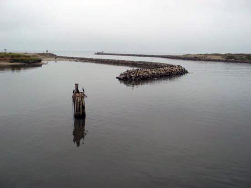
Leaving Moss Landing harbor |
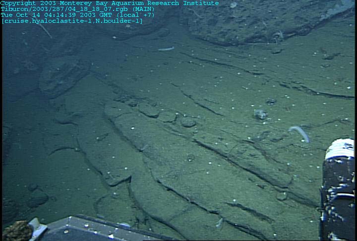
Bedded volcanic sandstone at 650m depth. Could this once have been a shoreline? A black sand beach? |
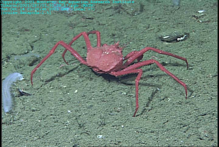
Large red crab, possibly Neolithodes; a sea cucumber (Pannychia) is on the left |
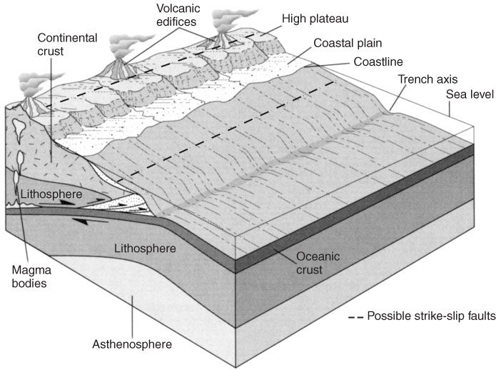
http://geophysics.eas.gatech.edu/classes/Geophysics/misc/Intro_Plate_tectonics.html |

From http://www.mbari.org/expeditions/Seamounts03/October13.htm
David Clague writes:
We departed Pioneer Seamount in heavy seas and 30 knot winds Sunday afternoon and headed south to Rodriguez Seamount, offshore Pt. Conception. With the wind and seas pushing us along, we arrived at Rodriguez about 4 pm Monday and launched Tiburon by 4:30. Rodriguez is different from the other seamounts along the California margin in having a nearly flat top and steep slopes surrounding the summit platform. Seamounts with this shape are common and are called guyots. There has been long-standing controversy over how seamounts develop this shape with the most accepted explanation being that the flat top is planed off by waves at sea level. The summit platform is surrounded by chutes that appear to be landslide scars.
The slope below the break-in-slope was composed of layered volcaniclastic rock (mainly coarse sandstones), with sporadic rounded boulders of lava. The volcaniclastic rocks most likely formed from sand-sized fragments of volcanic glass that formed when lava flows erupted above sea level entered the ocean and produced steam explosions that fragmented the lava. This process is occurring in Hawaii today where flows from Kilauea enter the ocean and create an enormous amount of glass sand that produces new black-sand beaches and also blankets the slope below the lava entry point into the sea. On Rodriguez, following millions of years of alteration, most of the glass has altered to clays. Above the break-in-slope we encountered boulder to cobble deposits and bedded sandstone that may be the equivalent to HawaiiÆs black sand beaches. The small hills were constructed of jagged lava that may be subaerial ''a''a flows, as they had similar structure and steep margins about 10 m tall.
The observations we made today confirm the hypothesis that Rodriguez Seamount was an island at one time and that it has subsided about 700-750 m since it formed. Rodriquez was surrounded by sand beaches and cobble beaches formed where lava flowed into the sea. Inland areas included a few thick æaÆa flows erupted from vents located near the center of the summit platform. The subsidence of the island below sea level most likely occurred when the seamount approached the subduction zone that lay offshore California before the San Andreas Fault formed. The rocks collected may confirm that the summit was above sea level if we find some quenched volcanic glass that lost its volatiles (water, sulfur, and carbon dioxide) during eruption into the atmosphere. Similar glasses quenched following eruption under water retain much of this volatile inventory and can thus be distinguished from those erupted above sea level. For this reason, recovering glass is a major objective of our rock collection effort, although it requires nearly as much luck as skill and experience on volcanoes as old as Rodriguez where most of the glass has altered to clays over time.
The tops of most seamounts we have studied have complex biologic communities dominated by large sponges and gorgonians, but the summit of Rodriguez had more sparse communities with less diverse assemblages of animals. A large trumpet sponge is present, but the large gorgonians and other abundant yellow and white sponges so common on Davidson Seamount were nearly absent. In part, the relative paucity of animals may reflect the fact that the summit of Rodriguez lies at the depth of the oxygen minimum zone, with concentrations as low as 0.2 milliliters per liter of water, whereas the deeper summits on Davidson and Pioneer are below the oxygen minimum zone. The low oxygen concentrations make life at these depths in the ocean even more of a challenge than at other depths with more abundant dissolved oxygen. We collected a wide array of sponges, gorgonians, crinoids, brittle stars, asteroids, polychaete worms and tiny crabs that were living on a collected sponge. The assemblages of animals were distinct from any we have seen on other seamounts farther north along the margin.
For Tuesday, we plan to explore a large cone at the southern base of the seamount. This cone has a volume of about 2.6 cubic kilometers and almost certainly formed during a single sustained eruption lasting several decades. The cone is about 2 kilometers across at the base and rises about 525 meters, which also means we will observe the animal communities over a fairly large depth range.