 | Maliby Canyon and around |
|
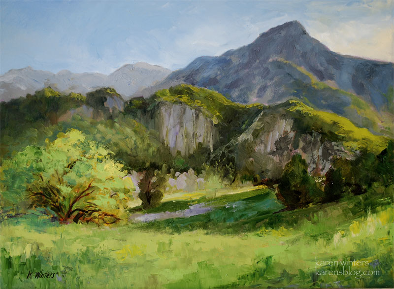
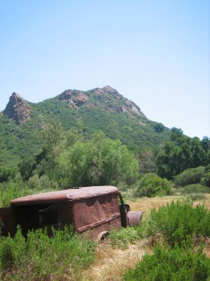
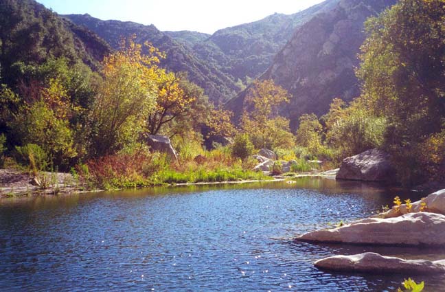
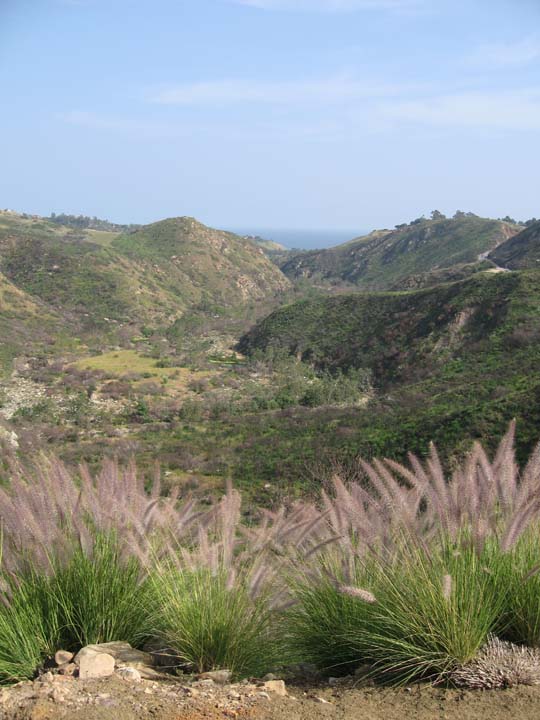
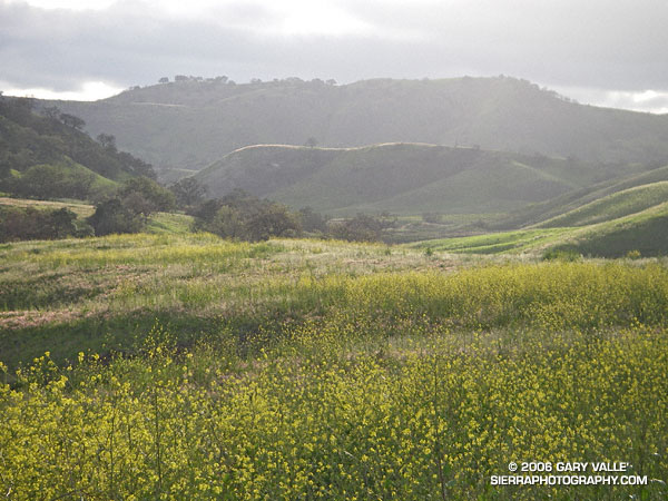
Maliby Creek State Park Landscape |
|
|
|
|
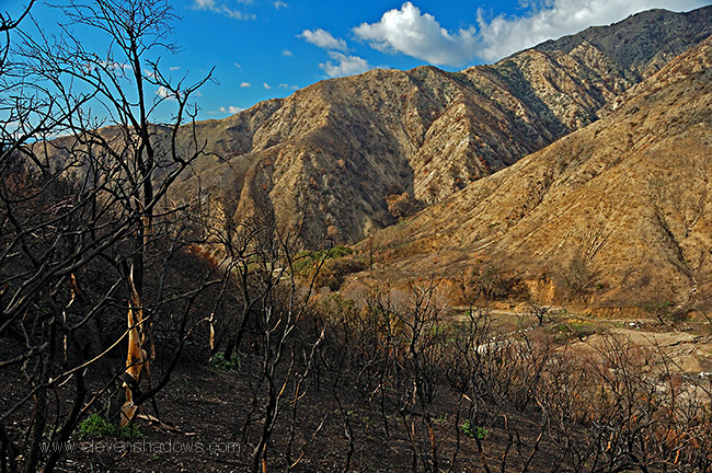
Mountain lion killed on Malibu Canyon Road |
|
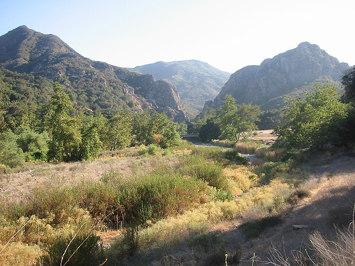
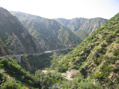
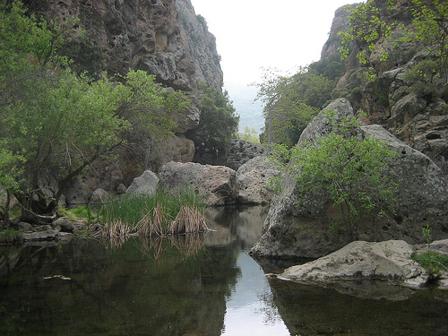
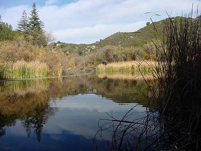
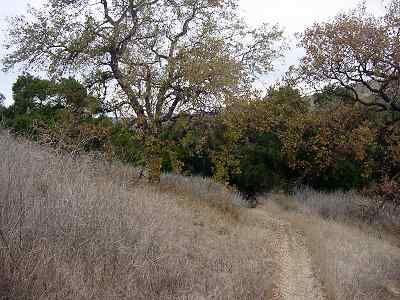
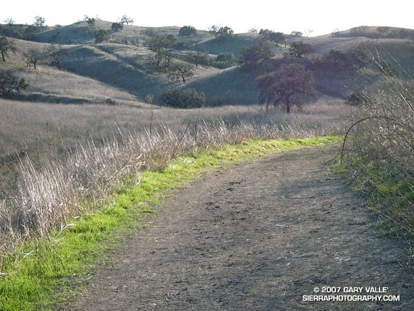
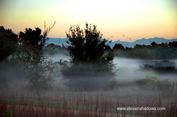
Maliby Creek |
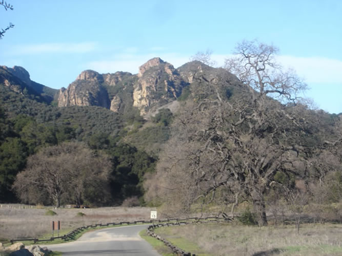
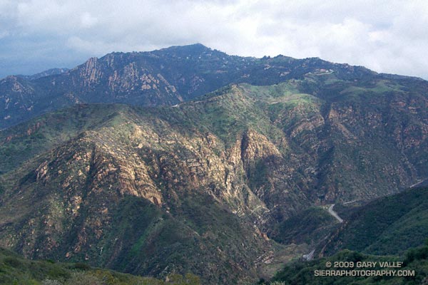
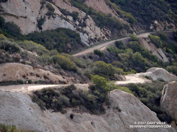
saddle Peak in Maliby Canyon |
|
Maliby creek |
http://www.woman-only.com/BHiking/trails.html |
Malibu Creek in Calabasas |
Malibu Creek in Calabasas |
Malibu Creek in Calabasas |
|
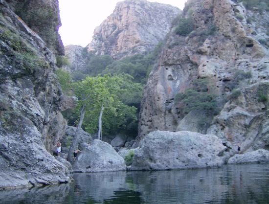
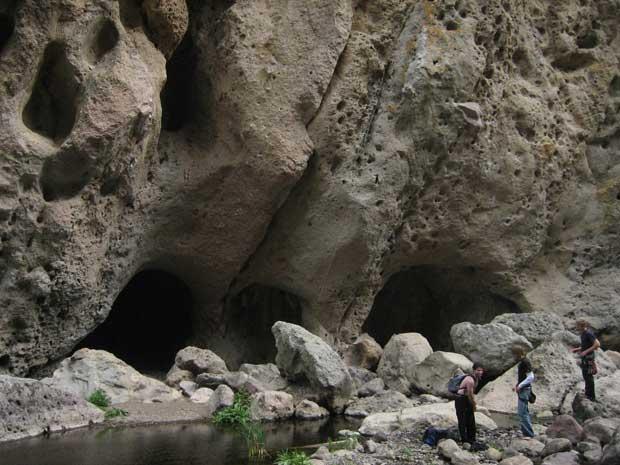
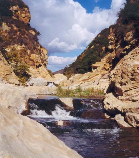
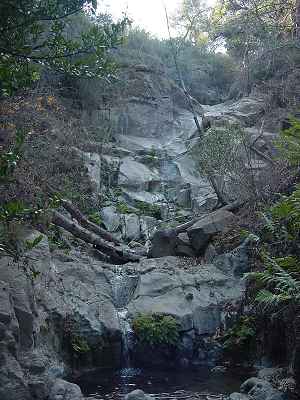
Malibu Canyon Narrows http://www.dankat.com/swhikes/malibu.htm |
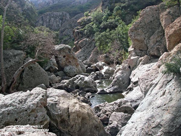
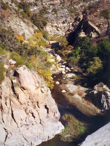
Downstream of dam |
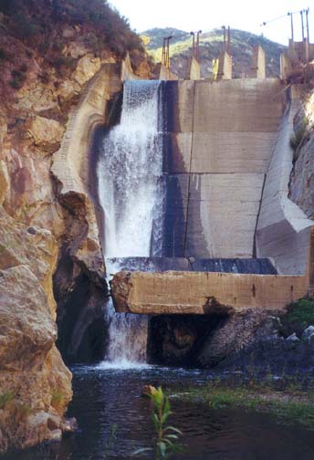
Left half of Rindge Dam |
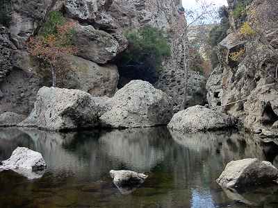
Pool below narrows |
Century Lake (Malibu Creek - Rock Pool, Century Lake) |
|
Oaks - biking: http://www.venturacountytrails.org/Movies/Movies.htm |
Sycamore canyon Falls |
Palo Comado canyon |
|
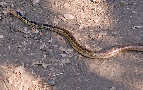
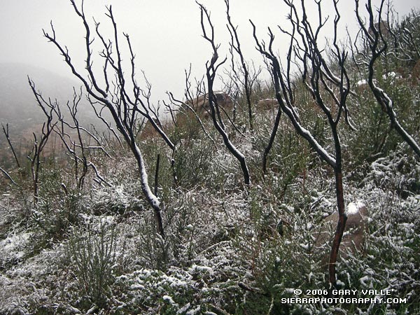
bull snake malibu canyon |
From Sage Ranch Park |
From Sage Ranch Park - http://www.lamountains.com/parks.asp?parkid=53 |
Star Lily (Zigadenus fremontii) at Sage Ranch. This species appears to be a "fire follower." In recent weeks it has been very common in some parts of the Topanga Fire area. |
Sage Ranch - http://www.photographyontherun.com/default,month,2007-02.aspx |
Tapia Bound Calabasas Mt. |
Upper Las Virgenes Canyon Open Space Preserve (formerly Ahmanson Ranch). |
Upper Las Virgenes Canyon Open Space Preserve (formerly Ahmanson Ranch). |
the eastern Simi Valley - http://www.photographyontherun.com/default,month,2006-03.aspx |
Upper Las Virgenes Canyon Open Space Preserve. |
Haines Canyon in Tujunga |
The Sepulveda Basin Wildlife Reserve |
Santa Monica Fault. TYPE OF FAULTING: left-reverse. LENGTH: 24 km |
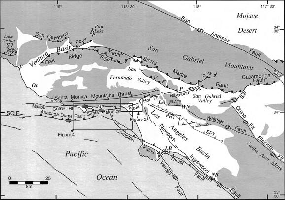
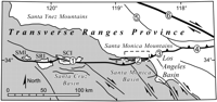
Regional neotectonic map for metropolitan southern California showing major active faults. The Santa Monica fault is a 40-km-long active fault within the 215-km-long Transverse Ranges Southern Boundary fault system (TRSBFS), which encompasses the Raymond,Hollywood, Santa Monica, Malibu Coast, Anacapa-Dume, Santa Cruz Island, and Santa Rosa Island faults as well as several blind thrust faults. Fault locations are from Ziony and Jones (1989), Vedder et al. (1986), Dolan and Sieh (1992), Sorlien (1994), and Dolan et al. (1997). Santa Rosa Island fault is off figure to west. Closed teeth denote reverse fault surface trace; open teeth on dashed lines show upper edge of blind thrust fault ramps. Strike-slip fault surface traces are shown by double arrows. C-SFŚClamshell-Sawpit fault; ELATBŚEast Los Angeles blind thrust system; EPTŚElysian park blind thrust fault; Hol FltŚHollywood fault; PHTŚPuente Hills blind thrust fault; RMFŚRed Mountain fault; SCIFŚSanta Cruz Island fault; SSFŚSanta Susana fault; SJcFŚSan Jacinto fault;SJFŚSan Jose fault; VFŚVerdugo fault; LAŚLos Angeles; LBŚLong Beach; NBŚNewport Beach; OxŚOxnard; PŚPasadena; VŚVentura; WNŚWhittier Narrows. Point Dume is at west end of Santa Monica fault. Downtown Hollywood is centered between Hol and Flt in figure. Dark shading shows Santa Monica Mountains |
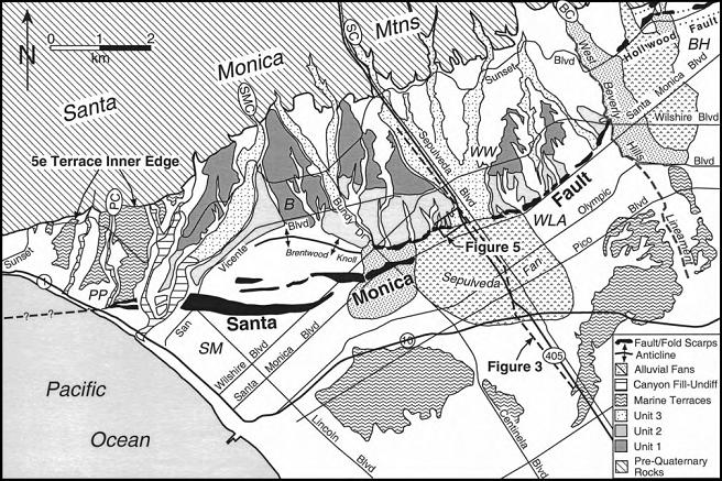
Tectonic geomorphologic map of the Santa Monica fault zone and environs based on interpretation of 1926 vintage U.S.Geological Survey 6 ft topographic maps (Sawtelle, Topanga Canyon, and Hollywood quadrangles) and field mapping. Note location of trench site just west of Freeway I-405. BŚBrentwood; BHŚBeverly Hills; PCŚPotrero Canyon; PPŚPacific Palisades; SMŚSanta Monica; WLAŚwest Los Angeles; WWŚWestwood |
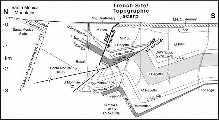
North-northwest2trending cross section showing active (northern) and inactive (southern) strands of the Santa Monica fault zone and associated structures in the vicinity of our trench site (location shown in Fig. 2). Modified from Tsutsumi et al. (2000) on the basis of high-resolution seismic reflection profiles across the upper 200 m of the active strand of the fault (Dolan and Pratt, 1997; Pratt et al., 1998). Data from Dolan and Pratt (1997) and Pratt et al. (1998) are shown projected 400 m eastward onto main cross- section line. Thin, subvertical lines are petroleum wells showing dip-meter data Tsutsumi et al., 2000). LŚlower; MŚmiddle; UŚupper;SMFŚSanta Monica fault; S strandŚsouthern strand; N strandŚnorthern strand. |
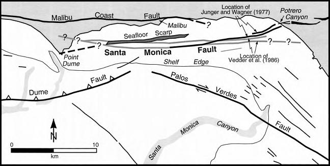
Map of active surficial faults along the Malibu Coast. Note differing locations for offshore Santa Monica fault shown by Junger and Wagner (1977) and Vedder et al. (1986), as well as 10-m-high, south-facing submarine scarp south of Malibu. Thick lines denote faults discussed in the text. Thinner lines show other faults that exhibit either Holocene or Pleistocene activity. Stipple denotes submarine canyons. Data are compiled from Junger and Wagner (1977) and Vedder et al. (1986). |
The Malibu Coast Fault is a regional fault system that extends about 125 miles (200 km).Malibu Coast Fault. TYPE OF FAULT: reverse. LENGTH: 34 km; has several parallel strands. |
Malibu Coast fault zone |
Santa Monica Mountains
Maliby canyon
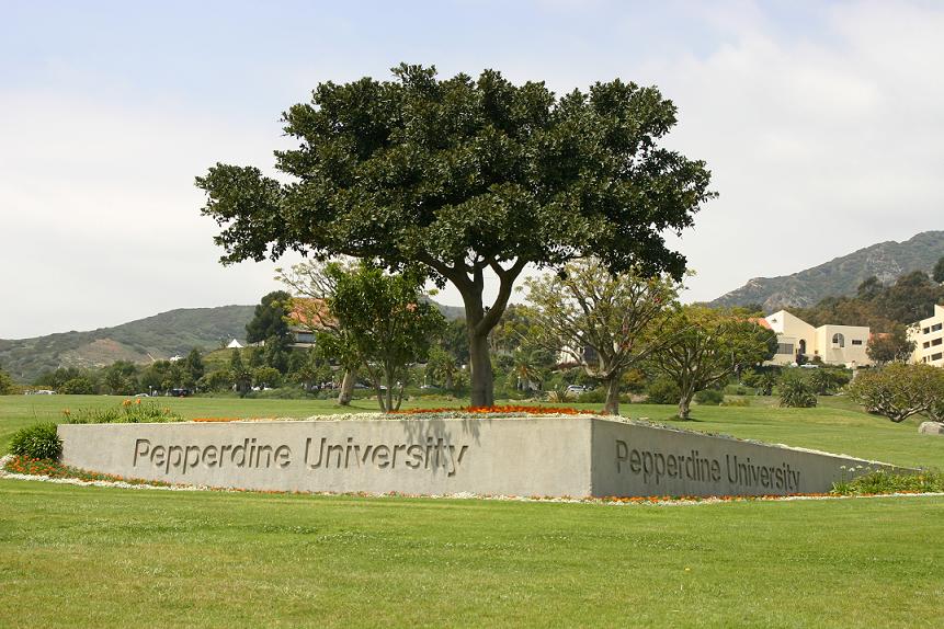
Pepperdine
Mastard bush from Spain =missioners
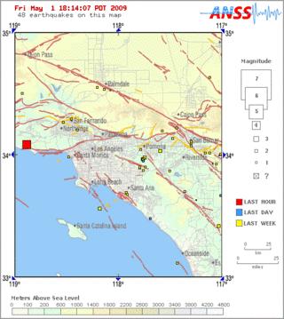
Santa Monica fault trends EW magnitude 7
Tilted sandstone way from old to young rocks continental sediments tilted to 45-60 degree
Big band of SA fault
Compression force
Rock formation sespe ¢sandstone and conglomerate
Cowboy colon ¢coastal plant
Tapia park ¢ volcanoes and ritual place. Hippie
Cayoty bush
Satwiwa native area
Walnuts
Chumashi Indians
300 native Americans dialects
7000 years ago
native American garden
gooseberry, sourberry, black rosberry
wild rose
western sycamore
saga
deergrass
malva
Point Mudu State Park
Strawberry Peak Traverse, Spring Growth, Fall Leaves on Bear Creek.Clear Creek Station
Ecological information - http://www.photographyontherun.com/default,month,2007-02.aspx