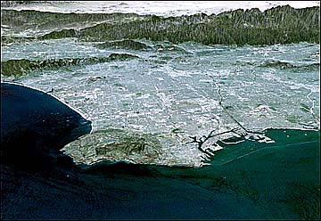
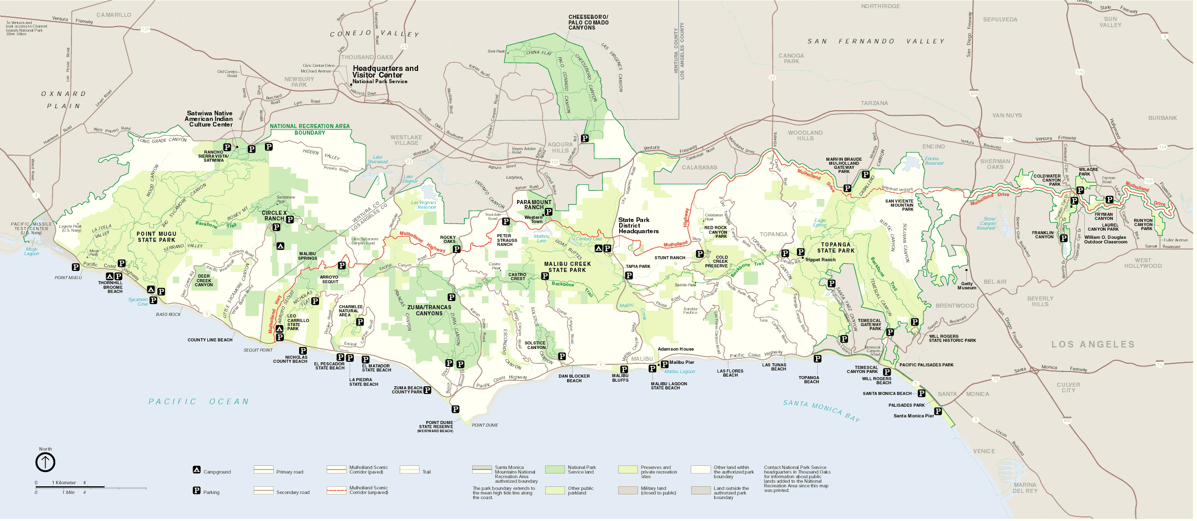
 | Santa Monica Mountains. Map |
|
|
|
|
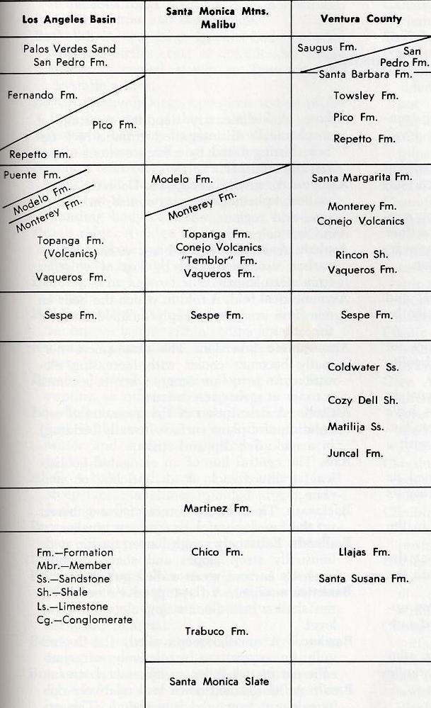
Some of the main faults accommodating current shortening in the western Transverse Ranges are probably listric because (1) they are associated with progressive tilting, and (2) they may be preexisting normal faults that accommodated Miocene extension. These faults have been reactivated in the Pliocene¢Quaternary transpressive regime. We propose a listric thrust model where slip is proportional to backlimb dip. This model requires relatively little fault slip to account for progressive tilting and for wide (in the dip direction) and gently dipping backlimbs. In contrast, widely applied fault-bend fold and fault-propagation fold models relate fault slip to limb width alone and typically predict more shortening by the blind thrusts that can be accounted for by folding in the cover above them. We trace the southernmost structural high in the Transverse Ranges from the Santa Monica Mountains through the southern Santa Barbara Channel. The north-dipping backlimb of this anticline is 20¢30 km wide and 220 km long; its presence suggests a very large north-dipping thrust that could generate very large earthquakes. The slip rate for this fault, however, is substantially lower for a listric thrust model than for a single-step ramp-flat model.
Geology
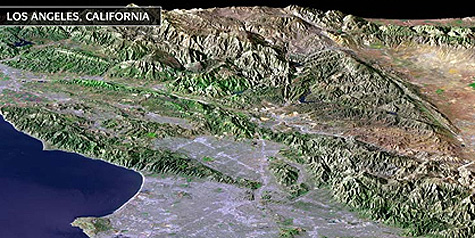
Listric thrusts in the western Transverse Ranges, California
Photos
Ecosystems