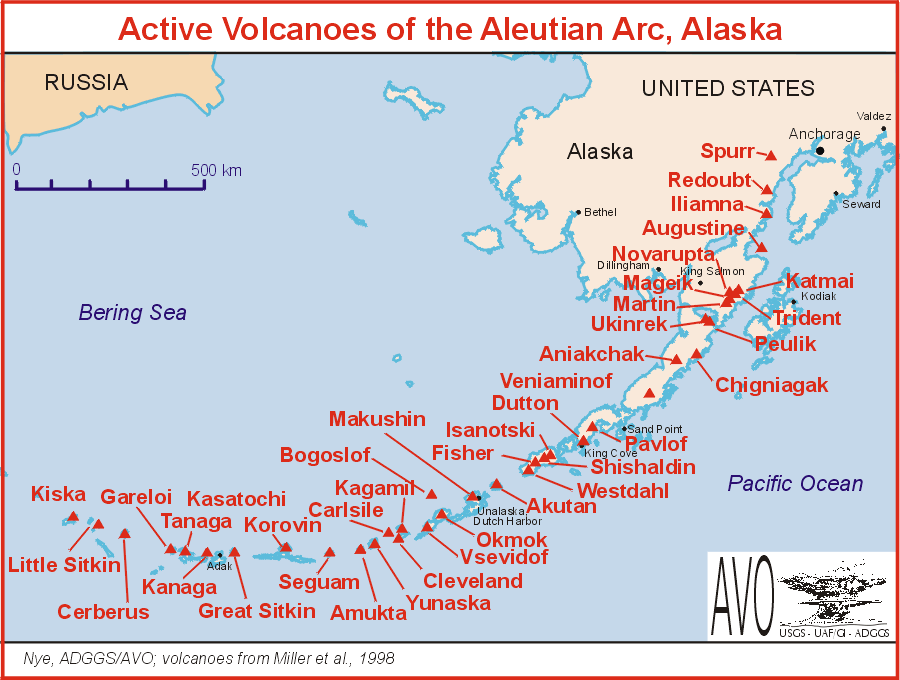
 | Aleutian Range, Aleutian Arc |
|
http://my.opera.com/nielsol/blog/?tag=earthquakes&startidx=20&nodaylimit=1 |
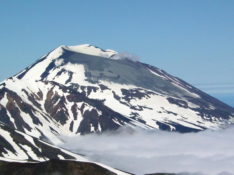
Summit of Korovin Volcano during its eruption of July 2004.Korovin Volcano, 1,533 m, stratovolcano, last eruption 2006, is the highest point on Atka Island, in the Aleutian Islands chain, Alaska, USA. Korovin is a side vent to the main Atka shield volcano -http://en.wikipedia.org/wiki/Korovin_Volcano |
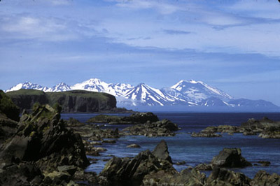
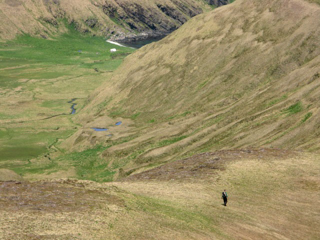
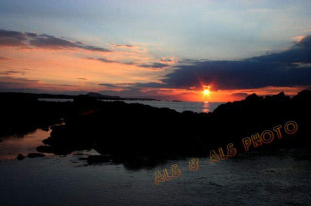
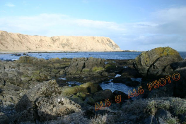
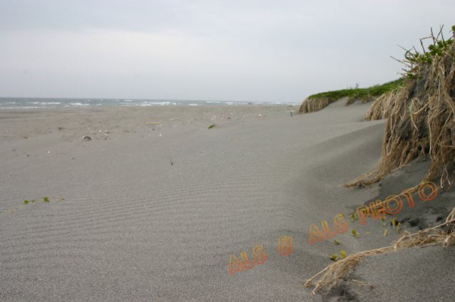
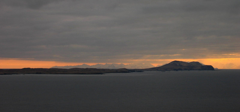
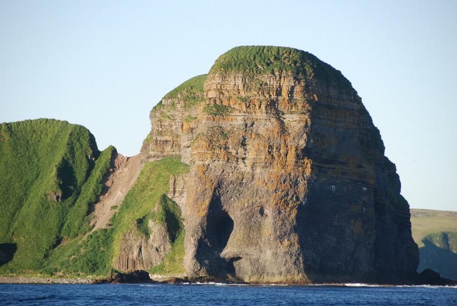
Atka Island from Amlia Island |
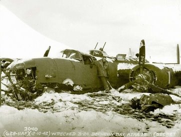
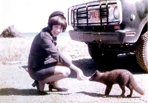
Japanese occupation of the Aleutians, and the Tule Segregation center - http://en.wikipedia.org/wiki/Atka_Island |
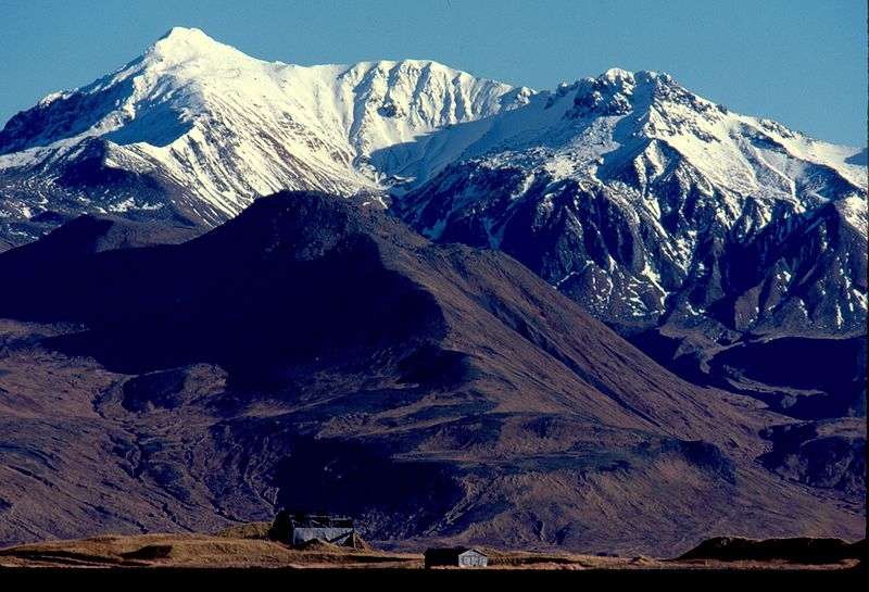
Mount Moffett is a mountainous stratovolcano that forms the summit of Adak Island. Its peak reaches 1,196 m. It is heavily glaciated and is made primarily of high alumina basalt and andesite. It has never had an eruption in recorded history. The southern flank of the mountain is assumed to be its youngest side. In comparison to other Aleutian stratovolcanoes, Moffett is a small vent, characteristic of its mixed composition - http://en.wikipedia.org/wiki/Mount_Moffett. |
Violent geologic events formed Adak Island: erupting volcanoes and tectonic subduction (movement of the oceanic crust toward and beneath the continental crust). Advancing and receding glaciers, frequent rainfall, and high winds sculpted the islandĪ»s dramatic hills, valleys, cliffs, and floodplains. The highest point on Adak Island is Mt. Moffett Adak Island is adjacent to and overlying a zone at the boundary of the Pacific and the North American tectonic plates. The Pacific plate moves under the edge of the other. Earthquakes continue to shake Adak. Three of the largest recent quakes in the vicinity occurred on June 9, 1996 (magnitude 7.7), May 7, 1986 (magnitude 8.0), and March 9, 1957 (magnitude 8.6) - http://alaskamaritime.fws.gov/units/History-Adak.htm |
Adagdak and Mount Moffett volcanoes are located on Adak. The igneous rock type adakite is named after Adak.Adak Island is an island near the western extent of the Andreanof Islands group. Due to harsh winds, frequent cloud cover, and cold temperatures, vegetation is mostly tundra (grasses, mosses, berries, low-lying flowering plants) at lower elevations. The highest point is Mt. Moffett, near the northwest end of the island, at an elevation of 1,196 m. It is snow covered the greater part of the year.From volcanic origins to earthquakes and war, Adak has an active history |
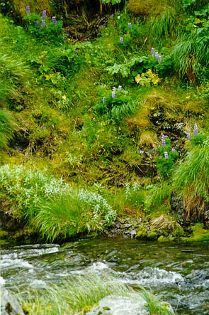
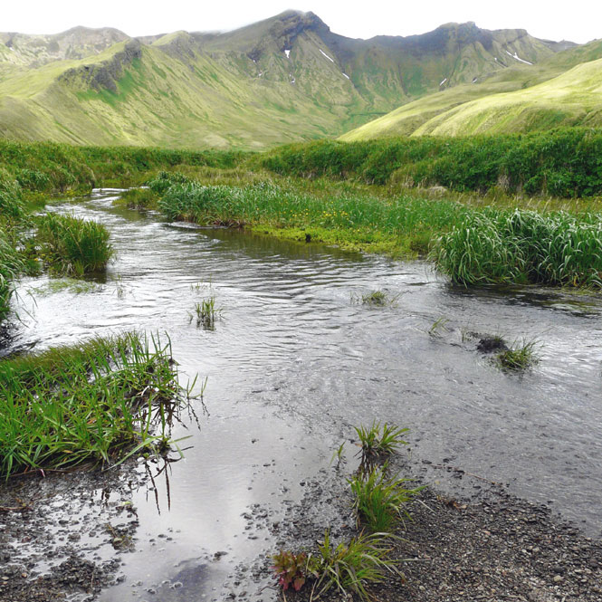
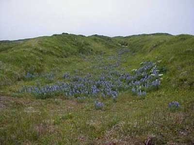
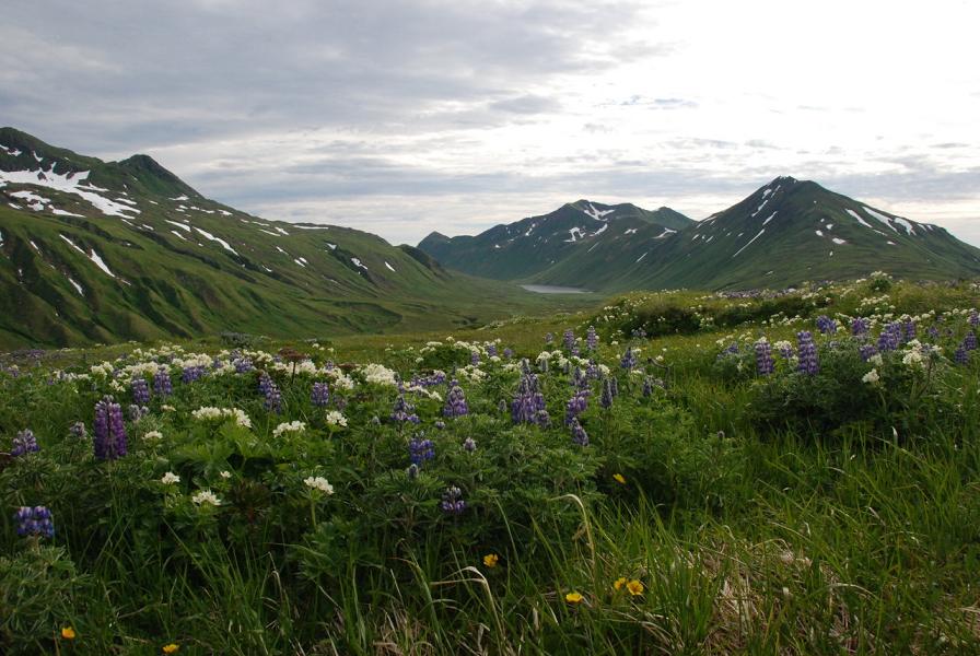
Adak_Island, Lupines at Finger Bay Creek -http://en.wikipedia.org/wiki/Adak_Island |
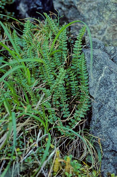
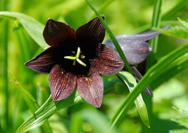
Aleutian Shield Fern |
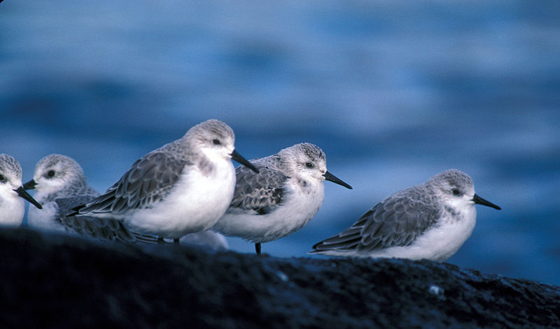
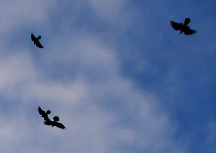
Sanderlings, Adak Island - http://en.wikipedia.org/wiki/Sanderling |
Amatignak Island |
Amatignak Island -http://www.mun.ca/serg/field_locations.html |
Amatignak Islandis a member of the Delarof Islands (western Andreanof Islands), in Alaska''s Aleutian archipelago. The nearest island is Ulak Island - http://www.mun.ca/serg/field_locations.html |
Amatignak Island -http://www.mun.ca/serg/field_locations.html |
Amatignak Island -http://www.mun.ca/serg/field_locations.html |
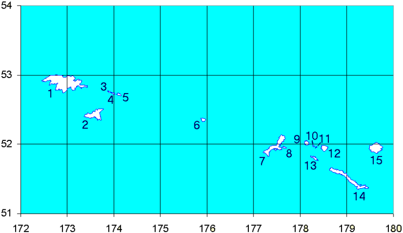
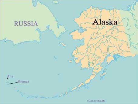
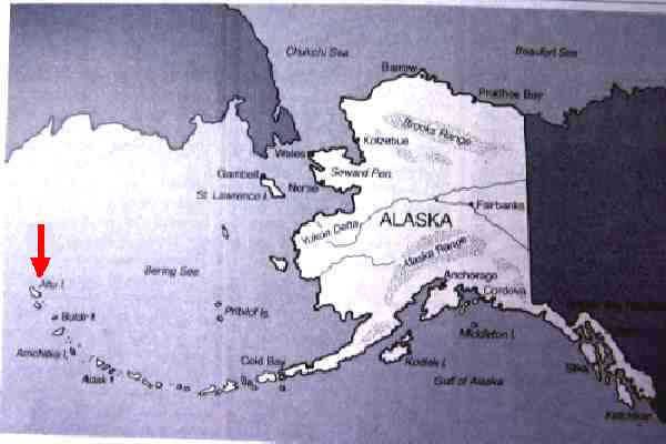
1-Attu Island 2- Agatti Island. 3 - Alaid; 4 - Nizki; 5 - Shemya; Buldir Island (6); Kiska Island (7), Little Kiska Island (8), Segula Island (9), Khvostof Island (10), Davidof Island (11), Little Sitkin Island (12), Rat Island (13), Amchitka Island (14), and Semisopochnoi Island (15) |
East Cape Volcano Mountain on Buldir Island, elevation is 384 m. East Cape Volcano Mountain is the 87801. highest mountain in 106.826 Nearest mounts.Mountains Near to East Cape Volcano Mountain - http://www.mountainsmounts.com/mountain/87801/east-cape-volcano/ |
The drive out to the East Cape - not aleut http://www.americaninexile.com/2011/10/east-cape.html- |
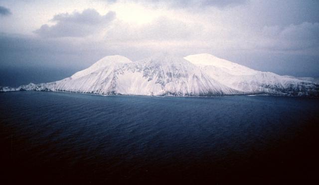
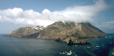
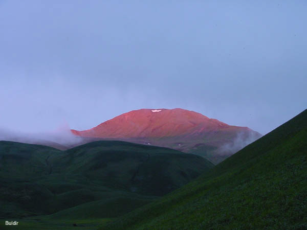
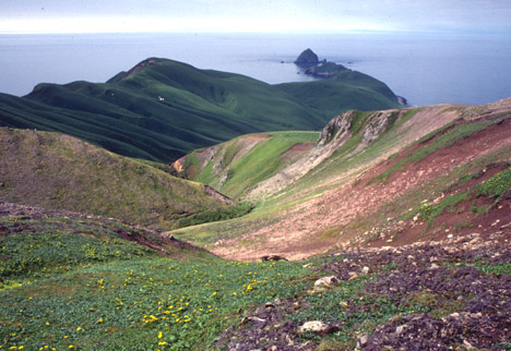
Winter snows drape Buldir, the westernmost Quaternary volcanic center of the 2500-km-long Aleutian arc. Buldir consists of the older Buldir volcano at the center of the island and the younger East Cape volcano forming the NE portion of the island. The age of the most recent eruptions of the volcano is not known precisely, but has been estimated to be late Pleistocene or Holocene |
Buldir |
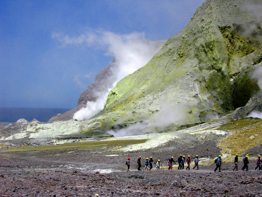
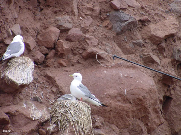
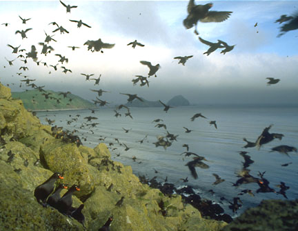
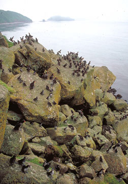
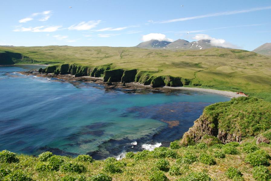
Buldir Island - Brightest gem in chain of volcanic islands ¢ mecca for birdlife The violence of the Aleutian weather echoes the turmoil beneath the surface. Earthquakes commonly rumble through here. The entire chain of islands rides a line of inner friction where one plate of the earthÆs crust grinds slowly under another. This movement breeds quakes, tidal waves and the volcanic eruptions that formed the islands themselves.Yet in spite of forbidding weather and trembling earth, the Aleutians are paradise for millions of marine birds and mammals. There is no better example than Buldir Island, near the western end of the chain of islands. Surrounded by nutrient-rich waters resulting from the turbulent mixing of the Bering Sea and North Pacific, Buldir hosts the most diverse seabird colonies in the northern hemisphere.Nearly 3.5 million seabirds crowd onto this 3- by 5-mile island. Its harborless shores and isolation in the middle of a 120-mile stretch of open ocean protected it from the fate of many of the other Aleutian Islands: fox farming. The difference is phenomenal. On islands where foxes were introduced, the land is quiet and birds are scarce. On Buldir, every possible niche - from beach boulders to rock cliff to grassy hillsides - holds a nesting seabird, songbird, duck or goose. The air is filled with song and chatter day and night.A remnant flock of fewer than 600 Aleutian cackling geese (formerly the Aleutian Canada goose) survived on Buldir after they had disappeared from almost all other islands when fur farmers added foxes. On fox-free Buldir, these small marine geese nested and raised their goslings amid the islandÆs lush grasses, protected from the almost constant winds and hidden from marauding gulls and peregrine falcons. These survivors became the seed for recovery of the Aleutian cackling goose population that started with their rediscovery in 1962 and continued through 2001 when they were successfully removed from the Endangered Species List. http://alaskamaritime.fws.gov/units/Aleutians-Buldir.htm |
Buldir |
Buldir Volcano, viewed from the east. Image courtesy of Ian L. Jones, Department of Biology, Memorial University http://en.wikipedia.org/wiki/Buldir_Volcano From Wood and Kienle (1990): "Buldir Island is the westernmost volcanic center of the present Pleistocene to Recent Aleutian volcanic front. The next westward subaerial volcanism is in Kamchatka. Buldir is a small (~2 cubic km), isolated, and mountainous island consisting of two volcanoes, the older of which is Buldir volcano and the younger East Cape volcano. Although broadly of similar age, a significant lapse of time between their formation allowed considerable marine and subaerial erosion, the products of which fill the lowlands. Buldir volcano, which once had a parasitic cone, consists of a few thin (3-m), olivine-bearing, high alumina basalt flows and much volcaniclastic debris. East Cape volcano has two vents: the principal vent forms an eruptive cone cored by a late stage plug, whereas the secondary vent is a large flank dome of hornblende andesite. "Buldir Island is unusual in its restricted flora relative to neighboring islands, suggesting that it is comparatively young and not a fragment of a much older, larger subaerial island. The once nearly extinct Aleutian goose (a lesser Canada goose) was rekindled from relict nestings on Buldir." http://www.avo.alaska.edu/volcanoes/volcinfo.php?volcname=Buldir |
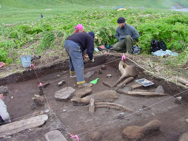
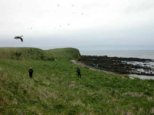
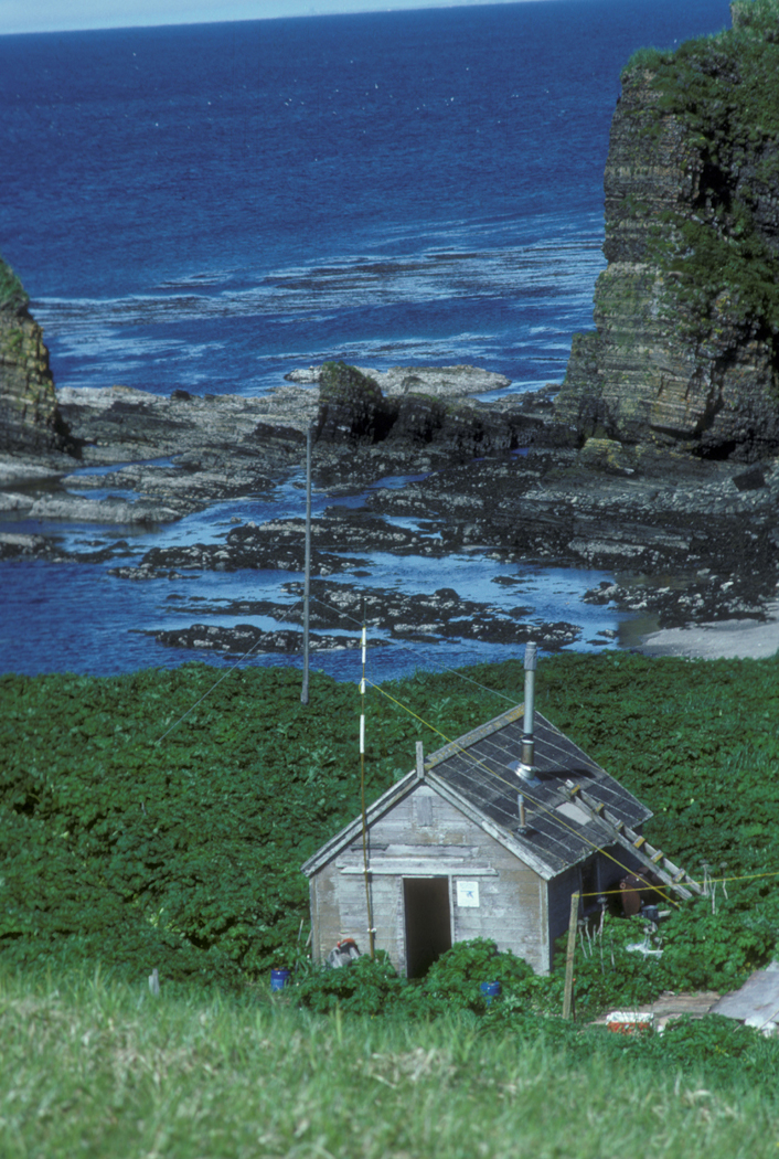
Archaeological Dig, Buldir - http://www.amnwr.com/Buldir/pictures/archaeologicaldig.html |
Buldir Eccentric Highest Pt |
Buldir. The westernmost volcanic center of the 2500-km-long Aleutian arc, Buldir consists of the older Buldir volcano at the center of the island and the younger East Cape volcano forming the NE portion of the island. The 656 m high point of the island is a tuff cone that tops the older center. A plug dome forms the 610-m-high summit of East Cape volcano, which has two principal peaks. The youngest volcanic feature on the isolated, 4.2 x 7.2 km island is a lava dome on the SE flank of East Cape volcano. The dome was considered by Coats (1951) to be of Pleistocene age based on morphologic considerations. Smith and Shaw (1975) suggested that the volcano may have been active within the last two thousand years, however, Holocene activity is uncertain, and the volcano may have ceased activity during the Pleistocene (Motyka et al. 1993, Nye et al. 1998). The flora on Buldir is less varied than on neighboring islands, suggesting that Buldir is relatively young. holocene? http://www.volcano.si.edu/world/volcano.cfm?vnum=1101-01- |
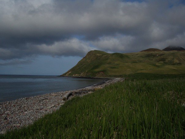
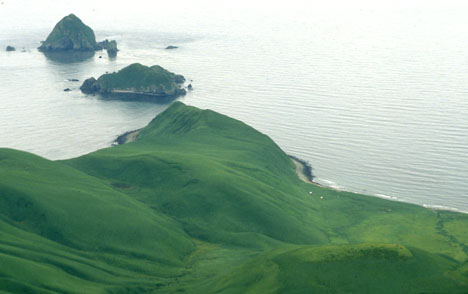
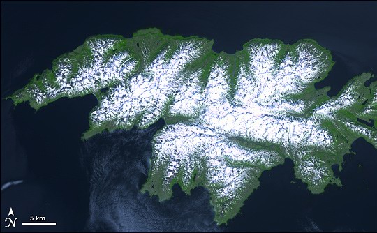
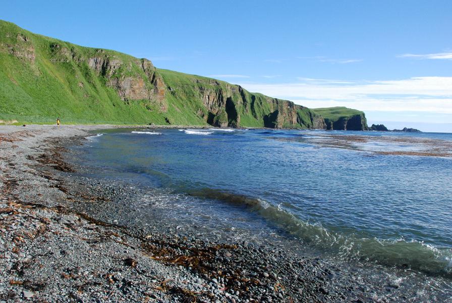
Western Aleutian Islands, North Bight Beach, Buldir Island.Buldir Island lies midway between the Near Islands in the West and the Rat Islands in the East.The island is small, with an area of just 19.291 km2. It is6.9 km long and 4.0 km wide. The two major volcanoes on the island are the Buldir Volcano, which forms most of the island, and the East Cape Volcano, which forms the island''s northeast section. Buldir Volcano is the taller, reaching 656 m in height, the highest point on the island. The coastlines along the island are often tall steep cliffs.The island is home to 21 species of breeding seabirds, making it the most diverse seabird colony in the Northern Hemisphere. The island''s colonies include Crested Auklets and Least Auklets, as well as puffins, storm-petrels and other species. It is one of only four locations in the world where Red-legged Kittiwakes breed.See nature on http://en.wikipedia.org/wiki/Buldir_Island The Buldir Volcano, 656m, is an inactive stratovolcano, once described as "the westernmost volcanic center of the present Pleistocene to Recent Aleutian volcanic front." It shares its island of residence with a younger stratovolcano entitled East Cape. Buldir''s structure has changed significantly over time, from a parasitic cone to its current makeup of alumina basaltic lava flows and pyroclastic debris. A cone made of tuff tops the mountain, built over the ancient calderas of the volcano. Dating suggests that the last eruptions on the island, from East Cape, were at least 2000 years ago, and could have possibly taken place before the Holocene. The island has a limited number of flora and fauna that it supports; its population of Aleutian Cackling Geese contributed to an re-expansion of the species, preventing their extinction. |
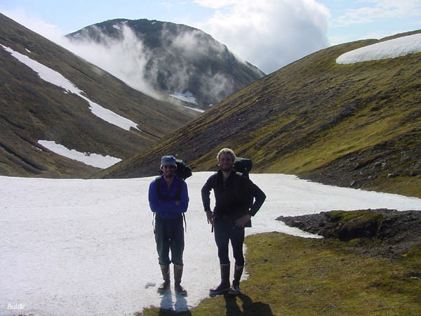
Buldir ''alpine zone'' looking west from top of glissade valley |
Buldir Island |
|
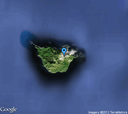
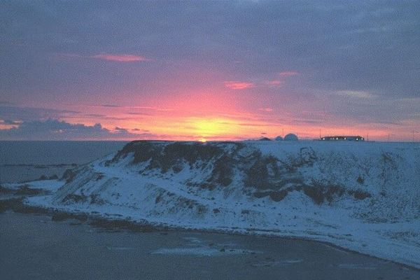
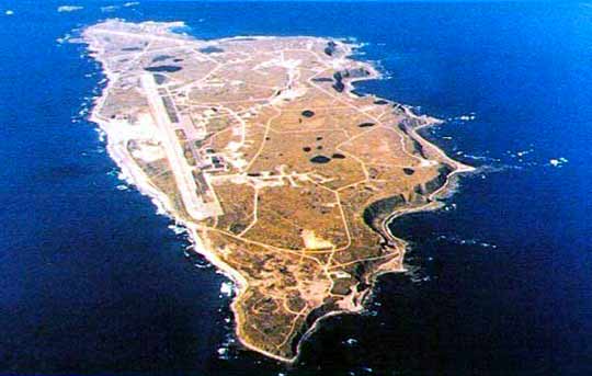
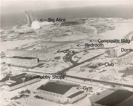
Shemya Island - http://29eagles.com/aboutme/shemya/ Shemya is a small island in the Near Islands group of the Semichi Islands chain in the Aleutian Islands archipelago |
http://holeintherockies.com/graphics/ak/shemya.htm |
http://johnachor.com/a-ball.html |
Shemya Island - http://en.wikipedia.org/wiki/Shemya |
Shemya Island - http://29eagles.com/aboutme/shemya/ |
Shemya Island, 300km from Russia - see how it should be - http://29eagles.com/aboutme/shemya/ |
http://29eagles.com/aboutme/shemya/ |
http://holeintherockies.com/graphics/ak/shemya.htm |
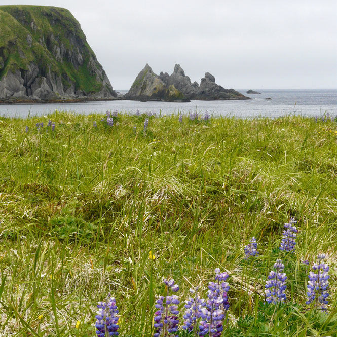
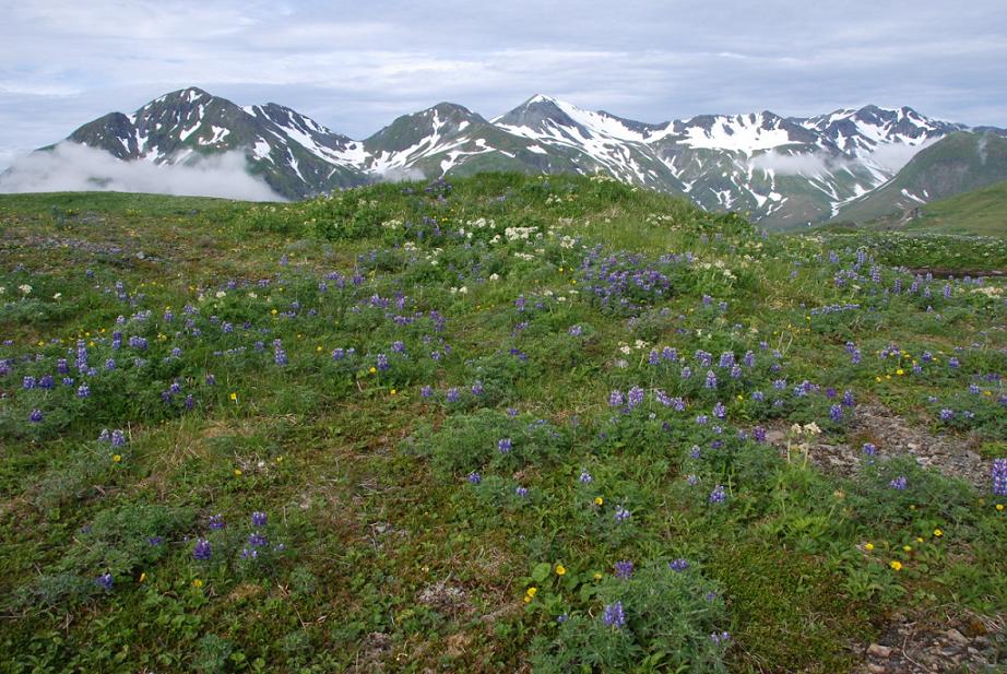
Shemya Island, lupines |
http://holeintherockies.com/graphics/ak/shemya.htm |
http://holeintherockies.com/graphics/ak/shemya.htm |
Shemya Island |
http://holeintherockies.com/graphics/ak/shemya.htm |
http://holeintherockies.com/graphics/ak/shemya.htm |
http://holeintherockies.com/graphics/ak/shemya.htm |
Ravens, Shemya Island |
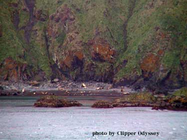
Stellar''s sea lions were pulled out on the beach of Alaid Island |
Nizki Island |
Nizki Island and the mountains far in the background is Attu Island |
Attu Island |
Attu Island - http://en.wikipedia.org/wiki/Attu_Island |
Attu Island - http://www.melindawebster.com/aleutians2/ |
Agattu Island - http://www.melindawebster.com/aleutians2/ |
Attu Island, Alaska |
Attu Island - http://www.melindawebster.com/aleutians2/ |
Atti |
Agattu Island.Agattu is an island in the Near Islands in the western end of the Aleutian Islands. With a land area of 221.59 km2 Agattu is one of the largest uninhabited islands in the Aleutians. It is the second largest of the Near Islands, after Attu Island. It is volcanic and considerably mountainous. The treeless island has a tundra-like terrain which reaches a peak of 632 m above sea level. Its length is 19.7 km and width is 30 km.Agattu has seven large seabird colonies, and an estimated population of 66,000 birds. About 1% of the global population of Red-faced Cormorants and Tufted Puffins nest on the island. Other inhabitants include Rock Sandpiper, Red-necked Phalarope, Gray-crowned Rosy Finch and Snow Bunting.Aleutian Cackling Geese were reintroduced to the island after foxes were eliminated from the island in the 1970s. The elimination of the foxes on the island also made it possible for conservationists to reintroduce the Evermann''s rock ptarmigan. In 2006 there were reports of at least 25 breeding pairs of the ptarmigan on the island Agattu is unique among the volcanic Aleutian Islands in being composed almost entirely of well-bedded sedimentary rocks. These rocks were clearly deposited in water and are composed chiefly of amorphous silica and fine detritus derived from a volcanic terrain. Igneous rocks are sparsely represented by intrusions of porphyry, diabase, and trap. The entire island has been heavily glaciated see nature http://en.wikipedia.org/wiki/Agattu - http://www.melindawebster.com/aleutians2/ |
Agatti |
http://www.melindawebster.com/aleutians2/ |
Agattu Island - http://www.melindawebster.com/aleutians2/ |
Agattu Island - http://www.melindawebster.com/aleutians2/ |
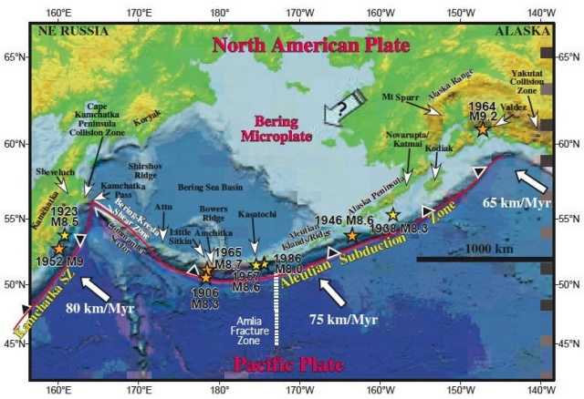

The Aleutian Islands unit of the Alaska Maritime Refuge extends more than 1800 km in a chain of volcanic islands (some still growing) . . .
. . . where the clash of North Pacific Ocean and Bering Sea waters creates a banquet for marine birds and mammals.
Volcanic Origins
The more than 200 islands of the Aleutians are tips of 57 submarine volcanoes, 27 of which are active. Some islands are wave-cut platforms less than 200 m above sea level, other rise more than 3,000 km..
Fog, Winds and More Fog
The Aleutians have a maritime climate characterized by overcast skies, frequent and violent storms, high winds, fog, and precipitation. Year-round temperatures are cool but not normally severe, with a mean annual temperature of 40oF (+2-3oC).
Premiere Bird Habitat
The Aleutian Islands host the largest nesting population of seabirds (about 10 million) in North America. They also provides unique nesting habitat for the formerly endangered Aleutian cackling goose. The islands are important migration and staging areas for a variety of waterfowl, shorebirds, and passerines, some more typical of Asia than North America. Emperor geese and other waterfowl spend the winter in the ice free coves and bays. Some 260 bird species have been recorded here.
Wilderness Islands
More than half of the land area in the Aleutians is part of the National Wilderness Preservation System.
LINKS to learn more
Look Closer ... Aleutians (Paradise for marine life and wildlife watchers who brave the storms)
Look Closer ... Buldir Island (Brightest gem in chain of volcanic islands ©C mecca for birdlife.)
Short History - Adak (From volcanic origins to earthquakes and war, Adak has an active history)
Contaminant Legacy (World War II and Cold War activities left a legacy of contaminants)
Aleutian Islands Biosphere Reserve
Unimak Island History
http://alaskamaritime.fws.gov/units/Aleutianmain.htm
NATURE - http://plate-tectonic.narod.ru/aleutnaturephotoalbum.html
Nizki Island an uninhabited island in the Aleutian Islands it is the middle island of the Semichi Islands group of the Near Islands. Flanked by Shemya to the east and Alaid to the west, 5 km Nizki is periodically joined to Alaid by a sand spit. The name is said to derive from the Russian "low," a term descriptive of the island''''s topography, with a maximum elevation of 165 feet. Nizki''''s shoreline is very irregular and is fringed by numerous rocks, reefs, and kelp-marked shoals.
Foxes were introduced to Nizki Island by Russian fur traders in the 19th century. This decimated the population of many bird species on the island. The last fox was removed from Nizki Island in 1976, and now Aleutian Canada Geese (once believed to be extinct), Puffins, and Aleutian Terns are common on the island
The Semichi Islands (Samiyan in Aleut) are a cluster of small islands in the Near Islands group . They are located southeast of Attu Island and northeast of Agattu Island, Named islands in the group include Alaid Island, Hammerhead Island, Lotus Island, Nizki Island, and Shemya.
The Semichi Islands are an important nesting area for Red-faced Cormorants and Glaucous-winged Gulls. They also provides important habitat for waterfowl: The Aleutian subspecies of Cackling Goose nests on the islands in significant numbers, and Common Eider and Emperor Goose winter in the area. Black Oystercatchers are also found in significant numbers
NATURE - http://plate-tectonic.narod.ru/aleutnaturephotoalbum.html
http://pubs.usgs.gov/bul/1028u/report.pdf geology of near islands
Geology of Shemua Island
pictures
http://www.dggs.alaska.gov/webpubs/usgs/of/text/of76-0082.PDF
List_of_Aleutian_Islands
Atca Island, Native Aleutians