 | Plato Colorado: Zion geology |
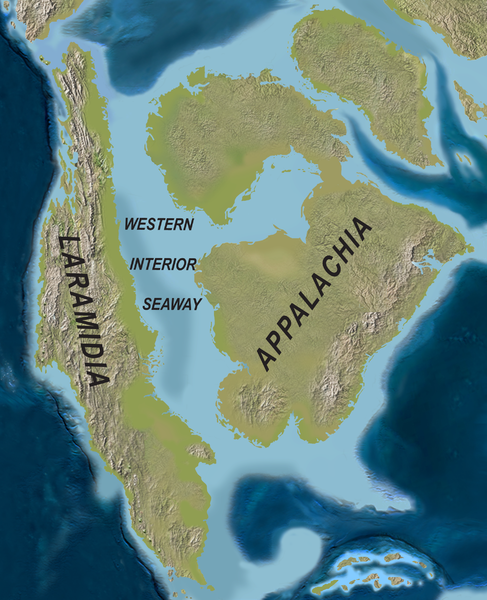
Paleogeography of North America during the late Campanian Stage of the Late Cretaceous - http://en.wikipedia.org/wiki/Geology_of_the_Bryce_Canyon_area |
Grand Canyon (A), Chocolate Cliffs (B), Vermilion Cliffs (C), White Cliffs (D), Zion Canyon (E), Gray Cliffs (F), Pink Cliffs (G), Bryce Canyon (H) |
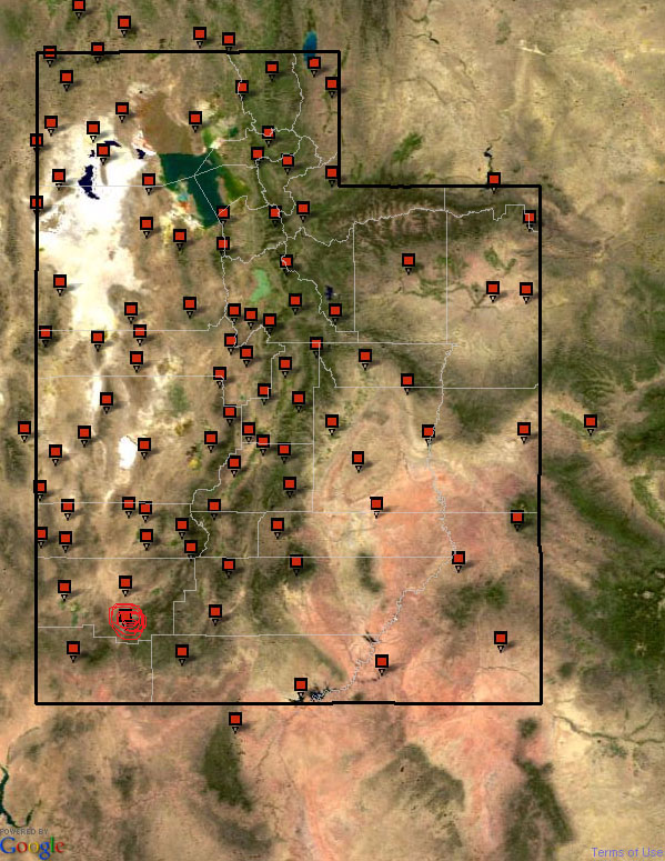
Location in Utah |
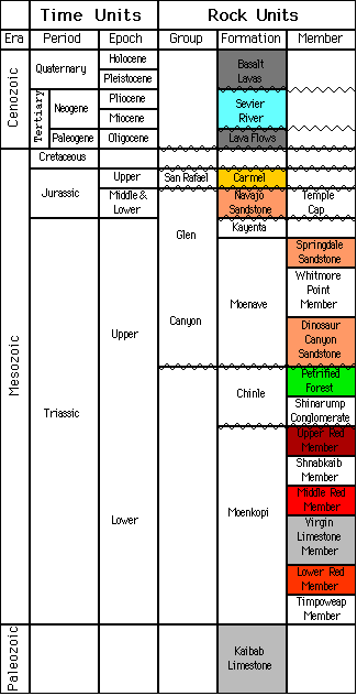
Zion strateiraphic column |
|
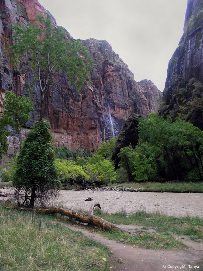
Riverside walk |
Riverside walk - http://www.zionnational-park.com/images/album2/index25.htm |
Riverside walk |
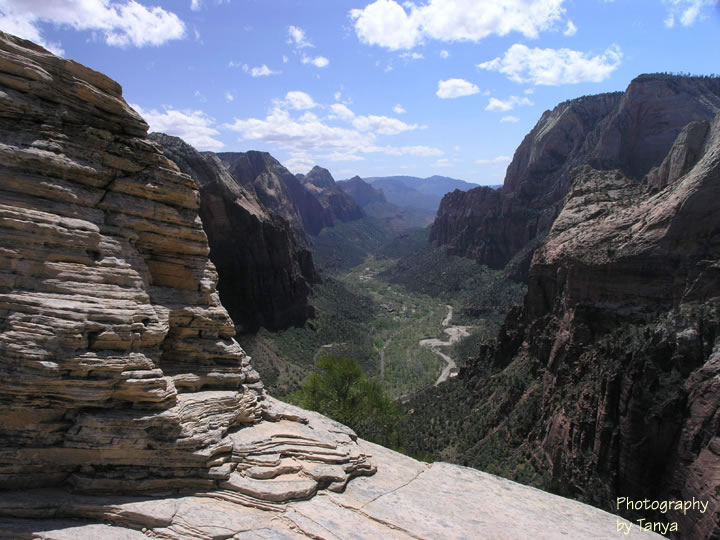
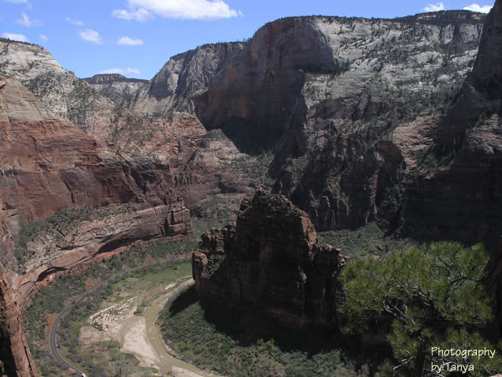
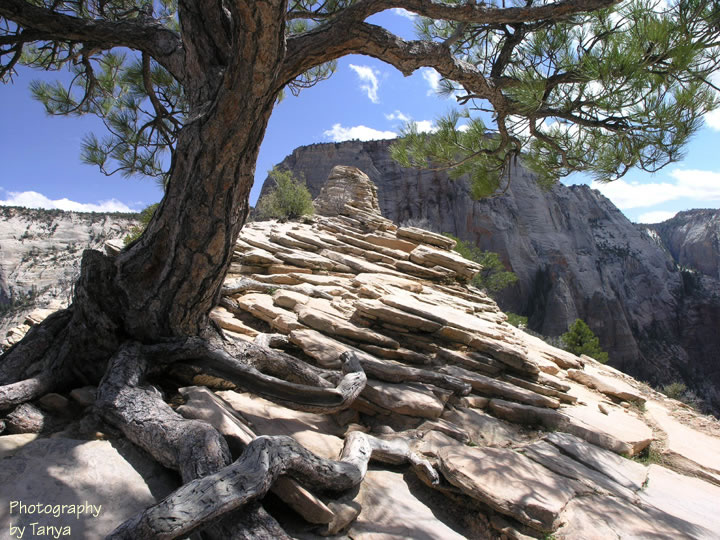
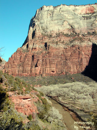
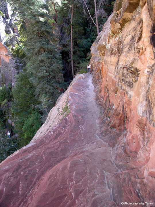
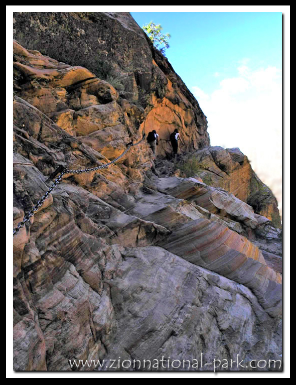
Angels Landing |
Angels Landing |
Angels Landing |
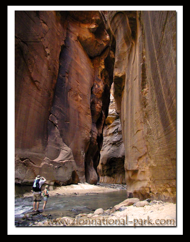
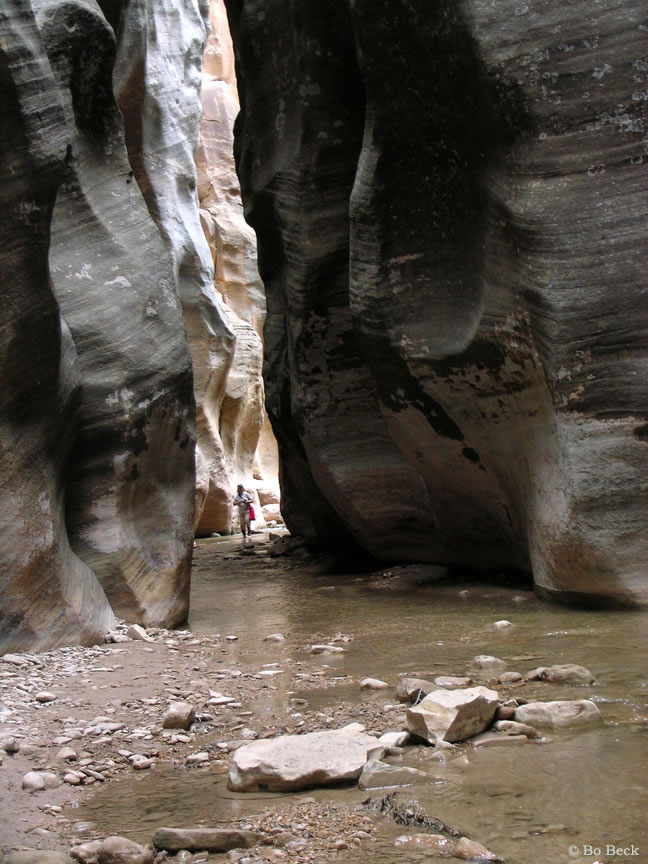
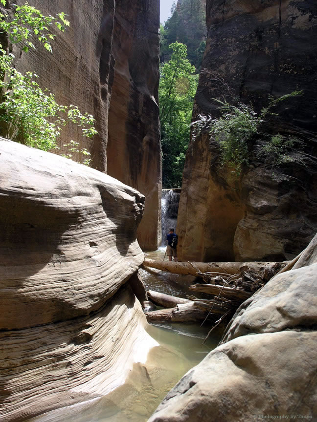
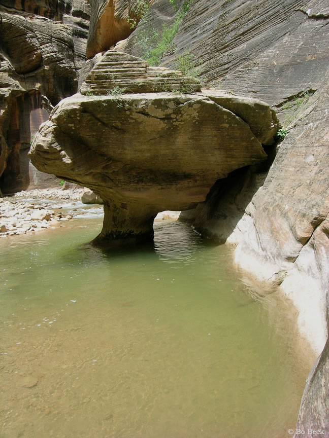
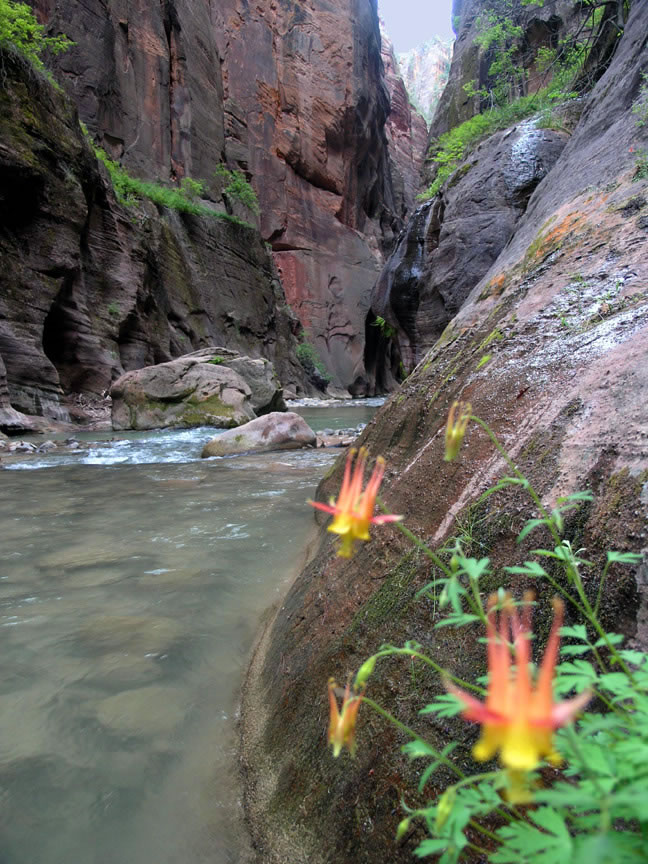
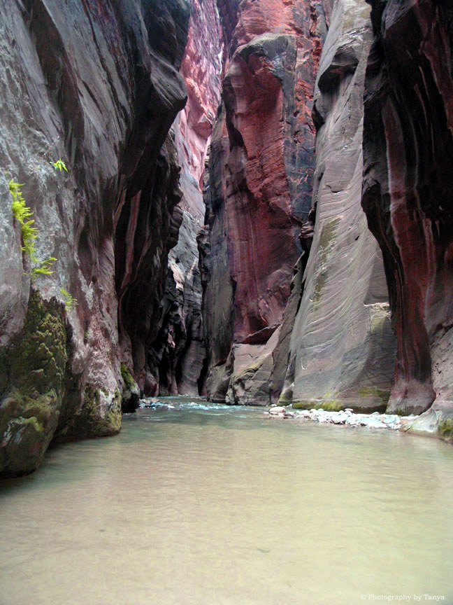
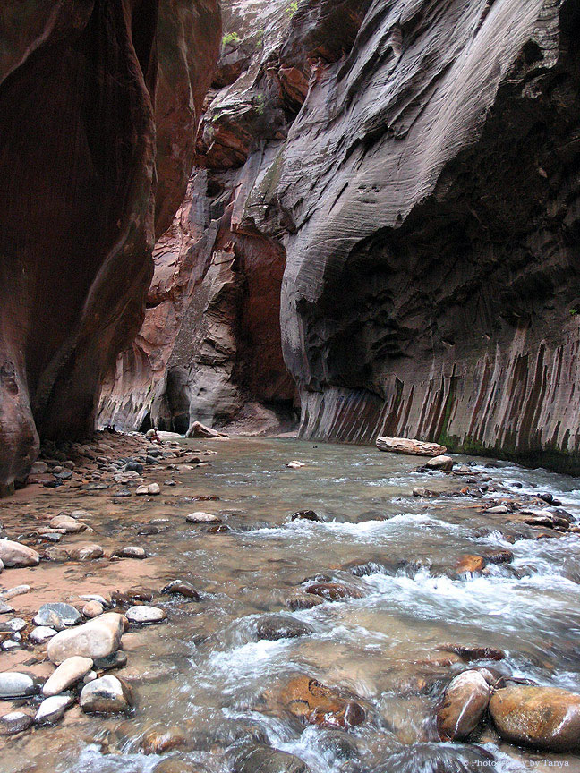
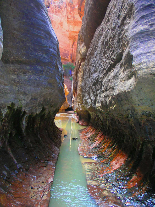
Narrows |
Narrows -http://www.zionnational-park.com/images/album2/index43.htm |
Narrows |
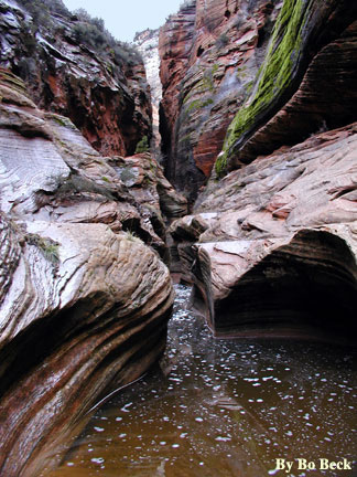
Narrows |
Narrows |
Narrows |
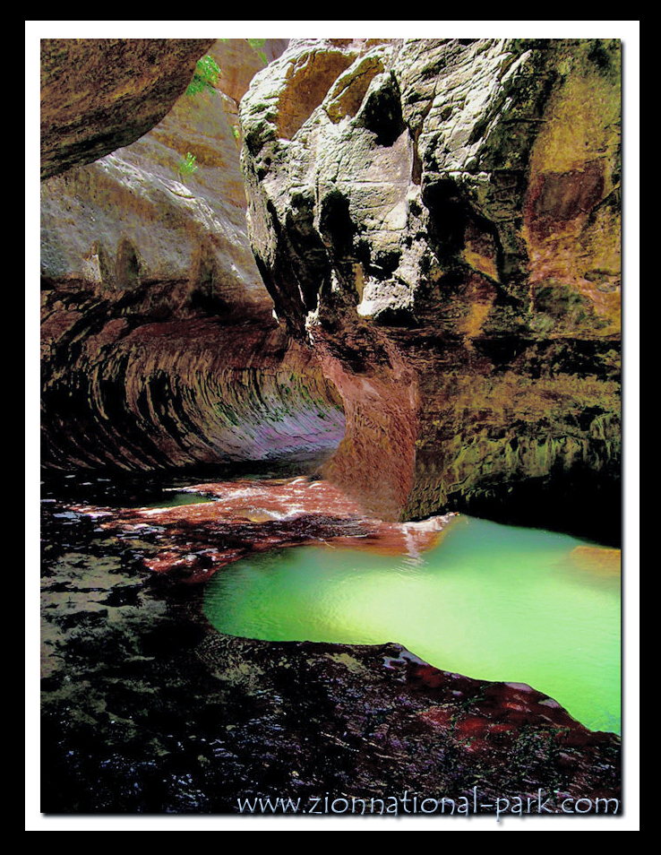
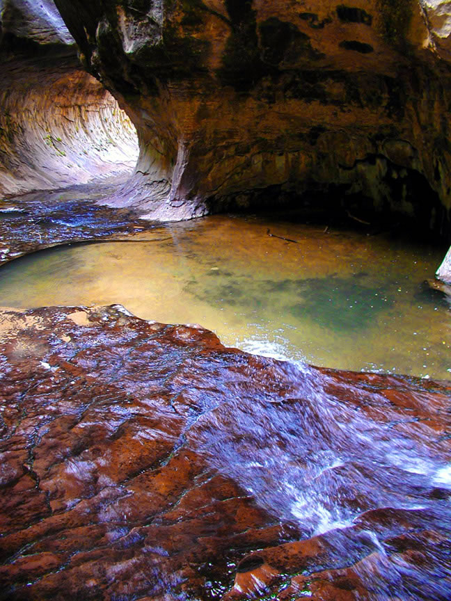
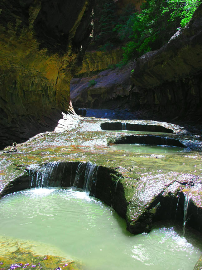
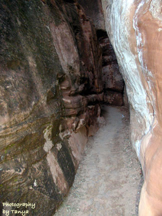
Subway |
Subway |
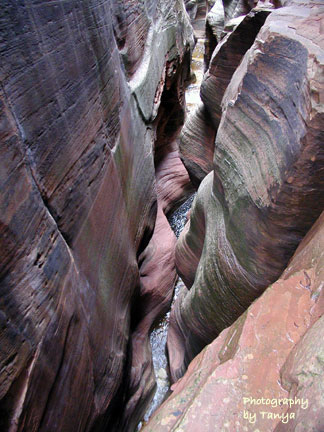
Subway -http://www.zionnational-park.com/images/album2/index58.htm |
Subway |
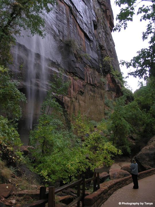
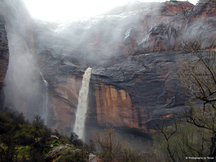
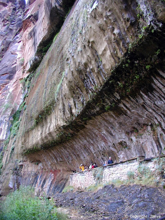
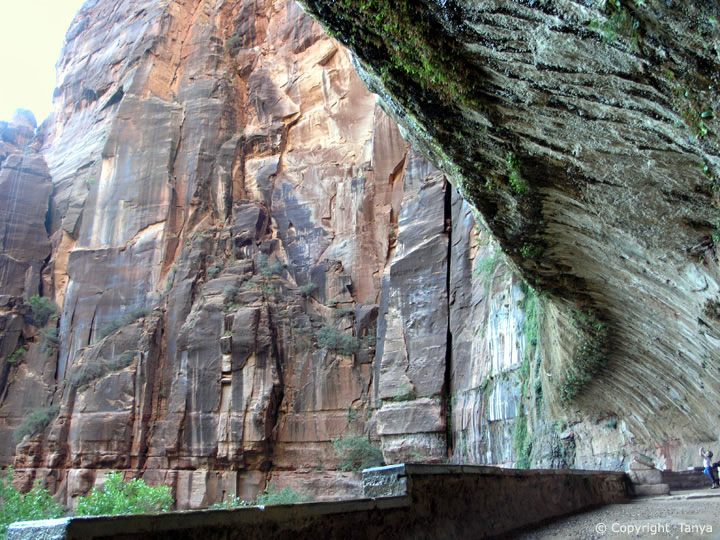
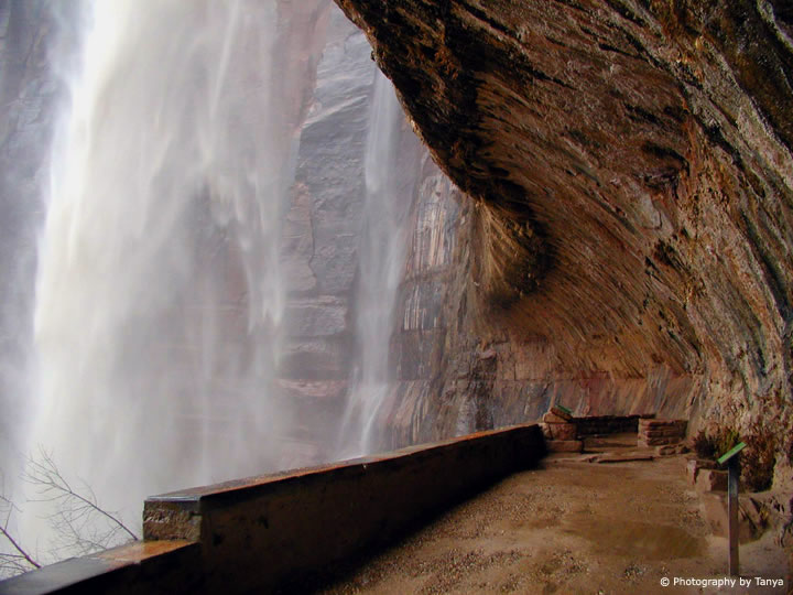
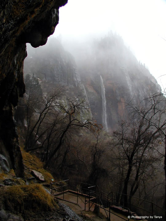
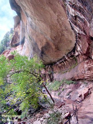
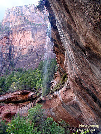
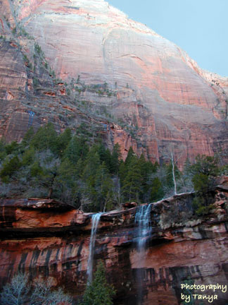
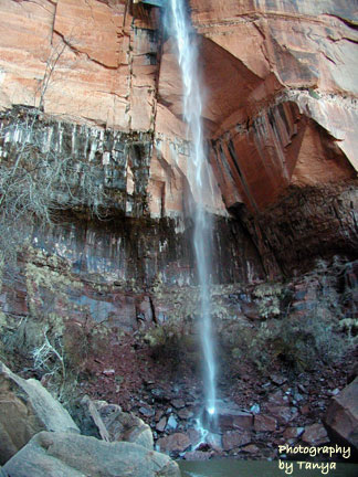
Weeping Rock - http://www.zionnational-park.com/images/album2/index22.htm |
Weeping Rock -http://www.zionnational-park.com/images/album2/index22.htm |
Weeping Rock |
A winter flash flood at Zion''s Weeping Rock |
Zion''s Weeping Rock |
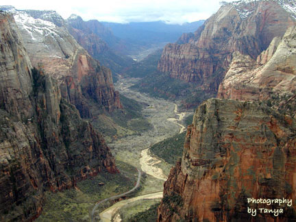
Canyon Overlook - http://www.zionnational-park.com/images/albums/index11.htm |
Canyon Overlook |
Canyon Overlook |
East Rim - http://www.zionnational-park.com/images/albums/index24.htm |
East Rim |
East Rim |
East Rim |
East Rim |
|
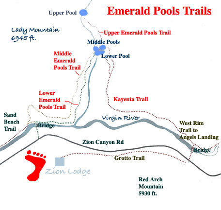
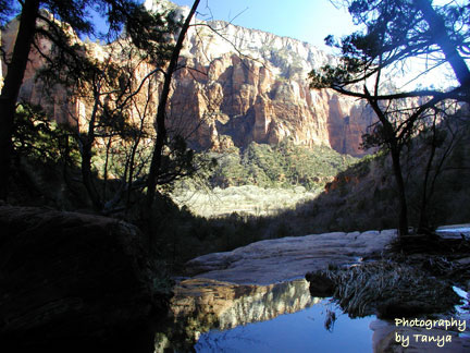
Emerald Pools |
Emerald Pools |
Emerald Pools -http://www.zionnational-park.com/images/albums/index16.htm |
Emerald Pools |
Emerald Pools |
Kayenta Trail - Emerald Pools - http://www.zionnational-park.com/images/albums/index46.htm |
Kayenta |
Kayenta |
Kayenta |
Zion pools |
Zion upper pool |
Zion middle pool |
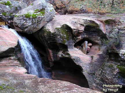
Hidden Canyon |
Hidden Canyon -http://www.zionnational-park.com/images/album2/index24.htm |
Hidden Canyon |
Hidden Canyon |
Hidden Canyon |
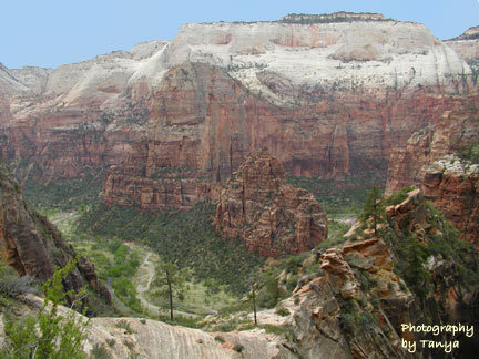
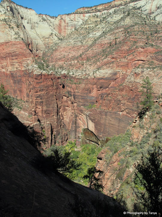
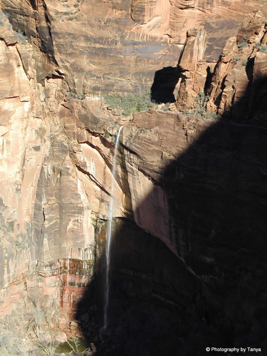
Observation point |
Observation point |
Observation Point |
Observation Point -http://www.zionnational-park.com/images/albums/index49.htm |
big-bend |
big-bend |
echo-canyon |
echo-canyon |
echo-canyon |
echo-canyon |
echo-canyon |
echo-canyon |
C http://www.zionnational-park.com/zion-national-park-geology.htm
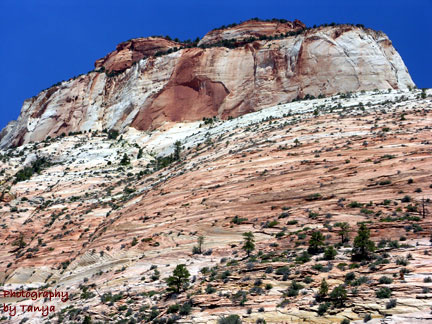
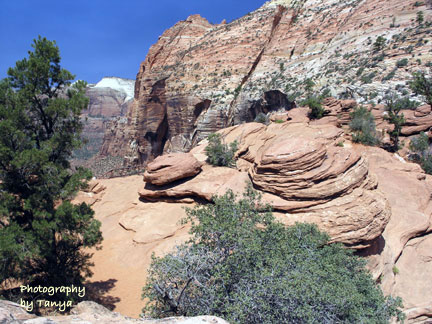
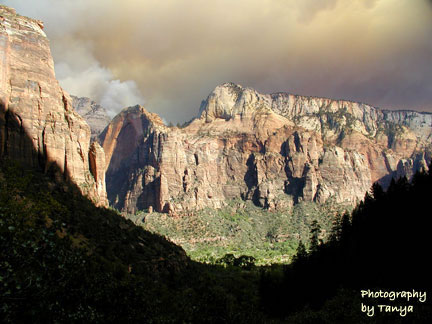
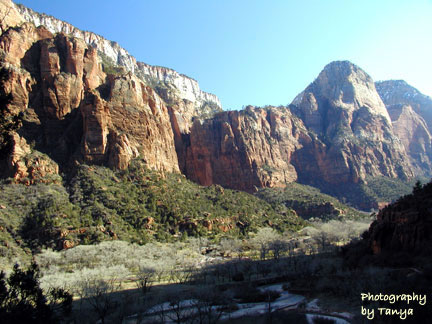
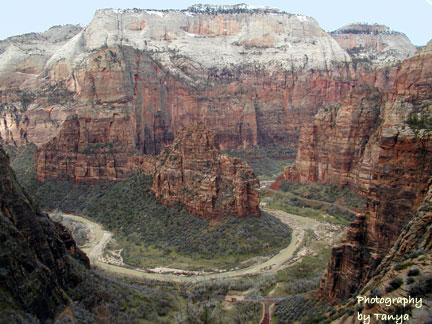
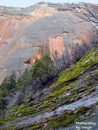
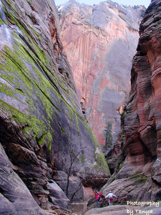
Zion National Park Geology - Zion is part of a vast picture; one that includes other Parks and Monuments in the Southwest. Looking at a topological map reveals Zion is located on the western edge of the Colorado Plateau. Also scattered about the plateau are Bryce Canyon National Park, Grand Canyon National Park and Cedar Breaks National Monument which together build the five steps and risers of the geologic area known as the Grand Staircase. Over 200-million years ago, the area where Zion is today was a great desert basin. Over vast spans of time, mountains eroded and material was transported by slow-moving streams and rivers depositing sand in a vast basin. Conditions and the environment changed as time passed and sea water covered dunes of sand. Calcium carbonate cemented loose grains of sand making hard sandstone. The seabed turned to limestone and mud and clay changed to mudstone and shale, forming the sweeping diagonal cross-bedding that Zion National Park is famous for.
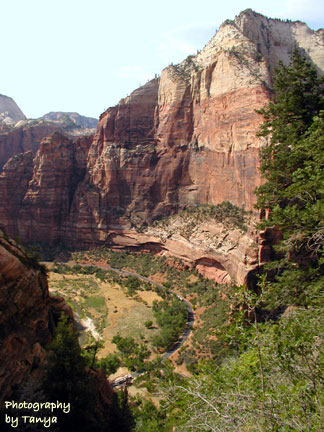
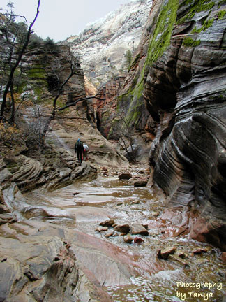
Geology of Zion Canyon - Geology of Zion Canyon - The basin lowered due to the weight of the deposits and more time passed as the earth shifted and forced the plateau up, slowly and irregularly and the sea drained away. Streams flowed over the edge of the plateau empowering debris to move at a great rate. This process carved Zion Canyon forcing vertical retreat of canyon walls. Oddly, this occurred in an area where the Navajo sandstone was, at its thickest, only 2000 feet. Today, the North Fork of the Virgin River continues to move debris and erode the canyon, moving an average of 5000 tons of rock fragments daily. Although consistent efforts by the river do some of the work, it is flash flooding that holds the power and force to makedrastic changes. In fact, ninety-percent of the carving is from flash floods. A large flood can result in an astonishing 9000 cubic feet of water per-second to rage down the river. The result is Zion Canyon is becoming deeper at a rate of 600 per-million years. Will Become Sand Dunes Once Again
The rock formations that exist today in Zion are still changing. Slowly, over vast amounts of time, great monoliths will return to the sand dunes from where they were born in ancient days. Forces of nature make their way through layers of sedimentary rock every day of our future, just as they have in our past. The largest monolith in the world, the Great White Throne, will slowly crumble to sand. Entering Zion from the east side, one of the first sites you will notice is Checkerboard Mesa.
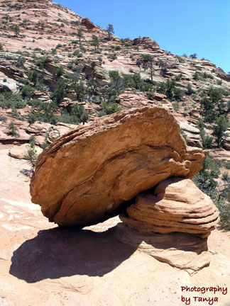
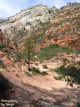
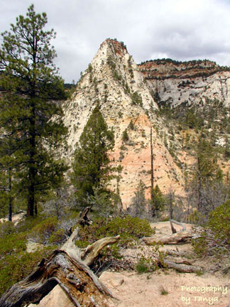
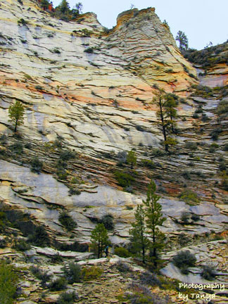
East side of Zion - The east section of Zion National Park is known as slickrock country where rocks are a mixture of white and varied tints of brown or orange. This is a result of minimal iron-oxide compared to other layers of sandstone. Zion slickrock showcases the powerful effects of erosion over a great period of time.
next
Zion National park
Stratigraphy of Zion National park area
Zion geological history
Map and columns
